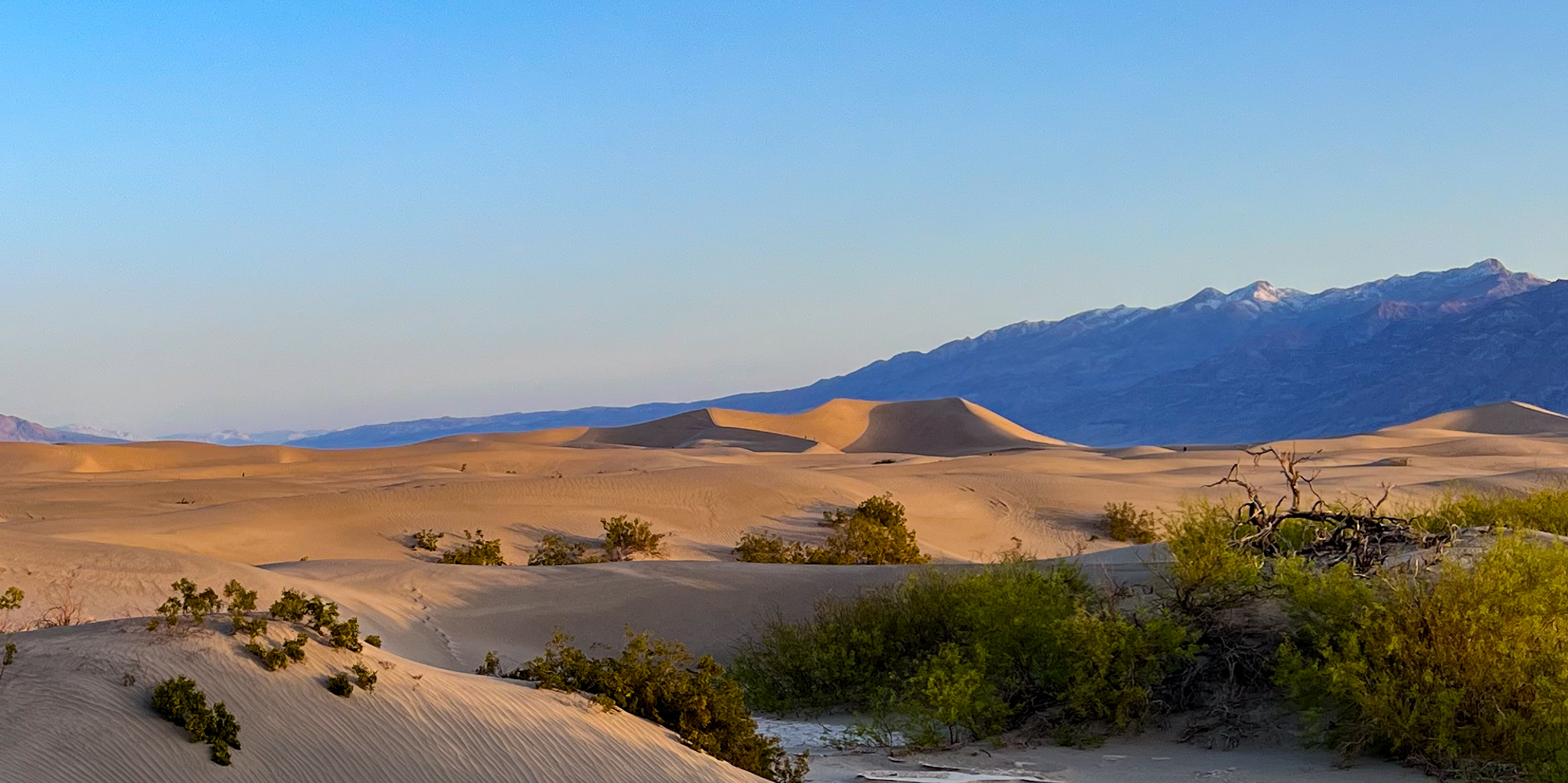
Alarm at 5:00. Poldi made coffee and we headed to the dunes for sunrise. We returned to the place we had found the previous night speculating where they might be illuminated at dawn. But now it was dark, and our hike was by “dead reckoning“. We couldn’t see them, and we hadn’t scouted them using GPS, so we just headed down the wash in the approximate direction. As we got closer, we could make them out in the gradually increasing twilight.
I wanted to capture the light on the dunes in a time lapse, so I set up the camera and tripod on the sand mound we had just climbed, and started the image capture sequence. I will have to make changes to the camera settings as daybreak approached, but there was now time to sit at the top of the dune next to Poldi, share the coffee, and watch the magic of sunrise as it brought light and color to a new day.
We could make out distant small figures on the dunes– like ants climbing a hill. Several groups would make their way along the dune crest lines, visiting each peak along the contours of sand. Eventually the sun burst over the mountain range to the east, and the sinuous shadows of the sand made a sharp contrast with the now sunlit crests. This was the visual reward for our early morning efforts. It was stunning.
Eventually the sun was high enough to be properly called morning and we returned to our hotel room to pack up for this last day in the park. Stopping first at the ranger station, we learned that Titus Canyon (our favorite back road in Death Valley), was closed, and likely to stay closed for over a year due to the extensive damage of last summer’s floods. Because of that, they were planning to do an archeological survey, long overdue, while the road was shut down. It may be several years before we can experience the thrill of that route again.
Instead, we headed west, toward tonight’s destination– a motel in Lone Pine CA, where we could clean up and prepare for the return flight home.
But first, Poldi had discovered an unmarked and un-named primitive road that went to Panamint Dunes. It was truly unmarked; no signage on the main road hinted at its existence. We needed to somehow recognize it as we drove past (at 65 mph). Poldi spotted it; I overshot, then backed up to maneuver onto the hint of a dirt road into the desert.
It was crosscut by washes and gulleys every few hundred feet, forcing us to a slow-motion crawl, and requiring much lateral strategy to avoid the exposed rocks and washouts. The “speed bumps” and “speed holes” became so frustrating that we re-evaluated why we were doing this. We didn’t know what, if anything, would be at the end of this tough slog. We estimated 6-8 miles at 5-10 mph. Should we invest this time?
I considered what I would do in the absence of Poldi. I might not have embarked on this road on my own, but if I had and was this far along, I would be curious about what it might lead to (who would make this road anyway, and why?). So I was ok with continuing, even at this snail’s pace. It turns out that Poldi was too. We are both curious people.
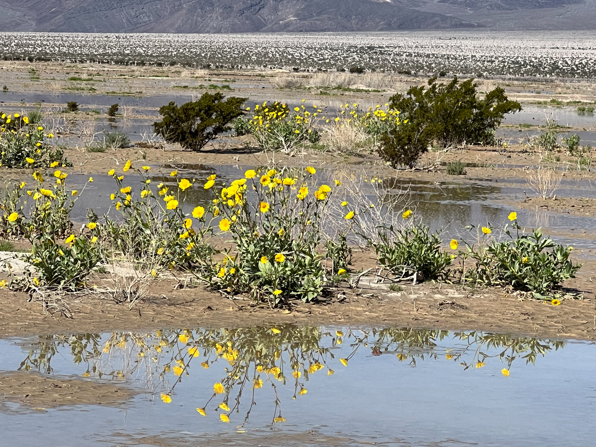
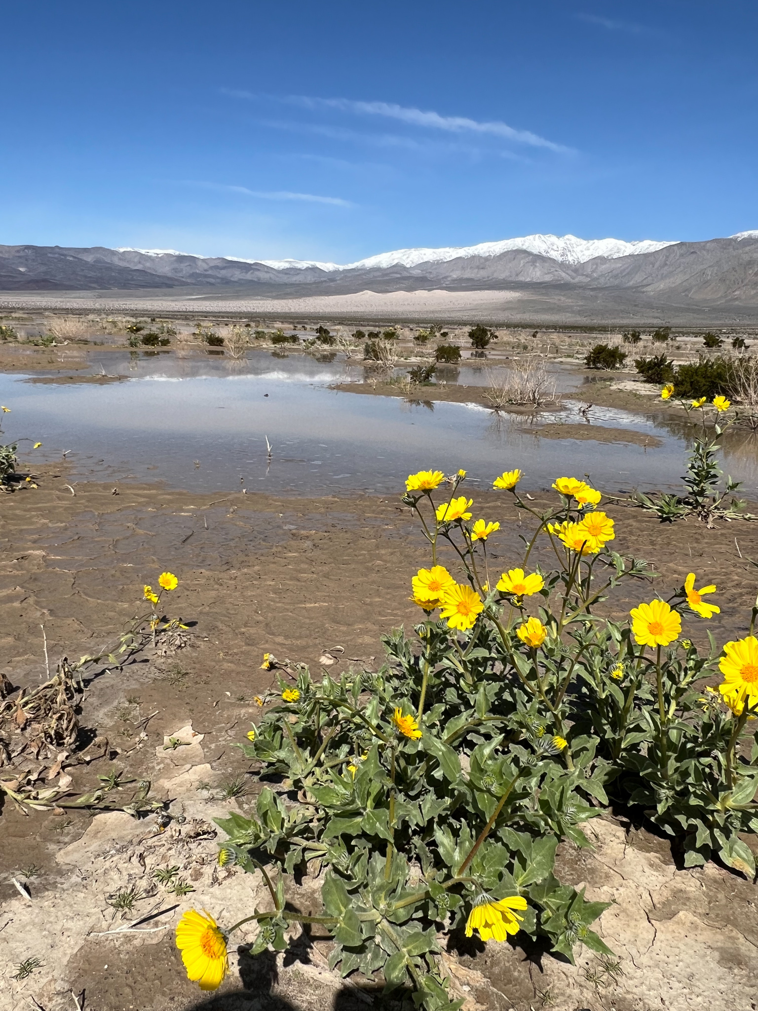
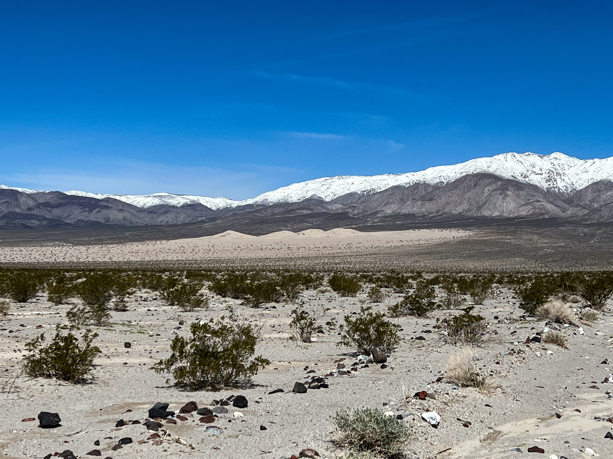
We eventually passed some landmark hills that stood out in this desert flatland and encountered an area of flowering plants. We continued, the road improving slightly, but only for a short distance. As we approached the once-distant sand dunes, the road became rougher than we were willing to navigate. We turned back.
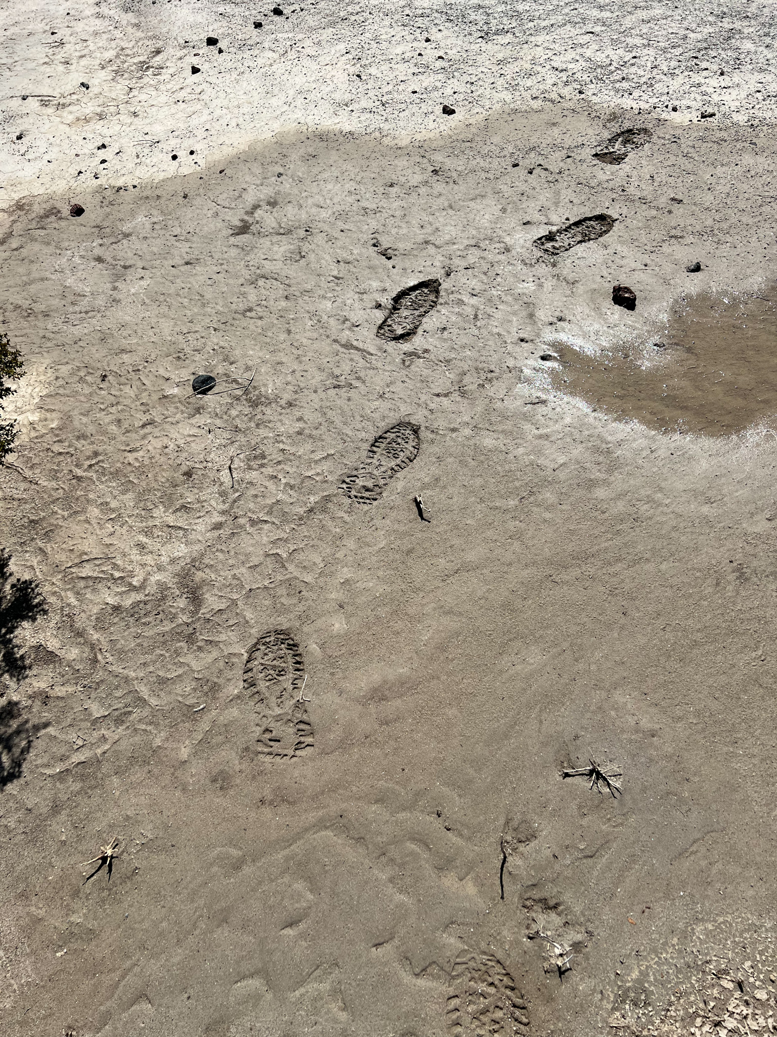
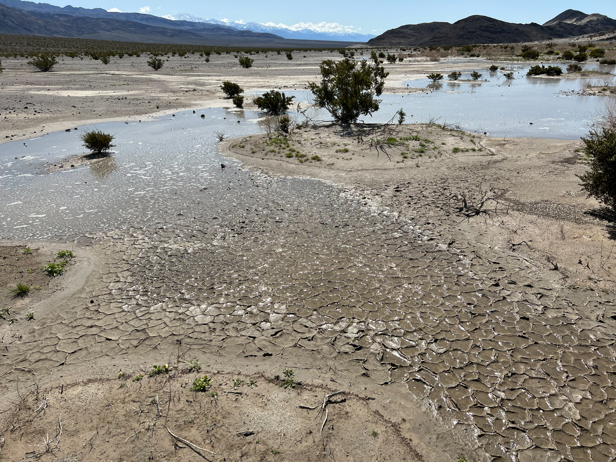
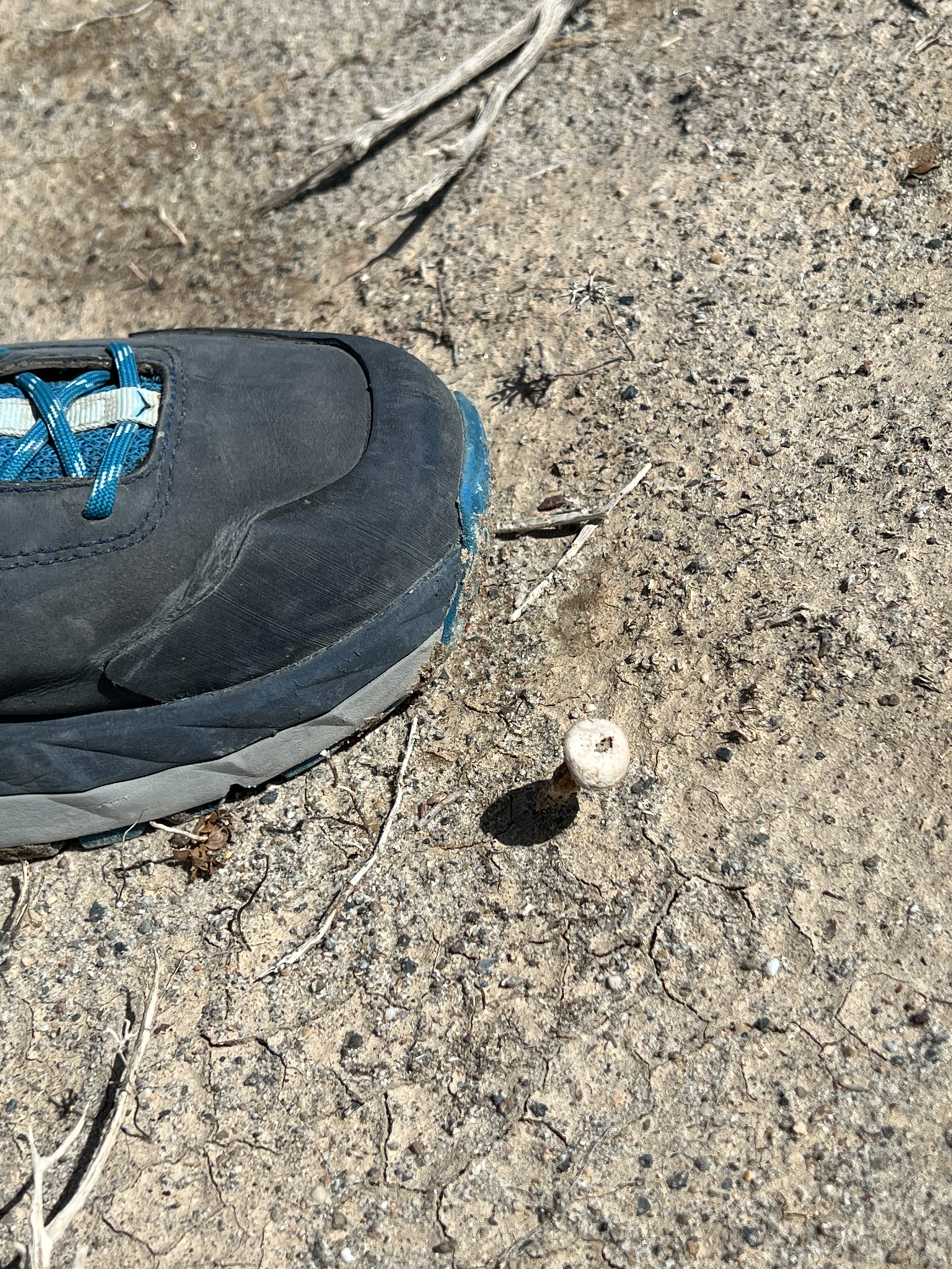
This time we stopped at the flowers, and hiked in to see them, We were surprised to see standing water! The plants near the water were showing yellow blooms. Poldi found some small mushrooms and “puffballs” that had taken nourishment and were undertaking the next phase of their reproductive cycle! Quite an amazing experience. And the temperature was 70F, sunny in the desert, but not hot!
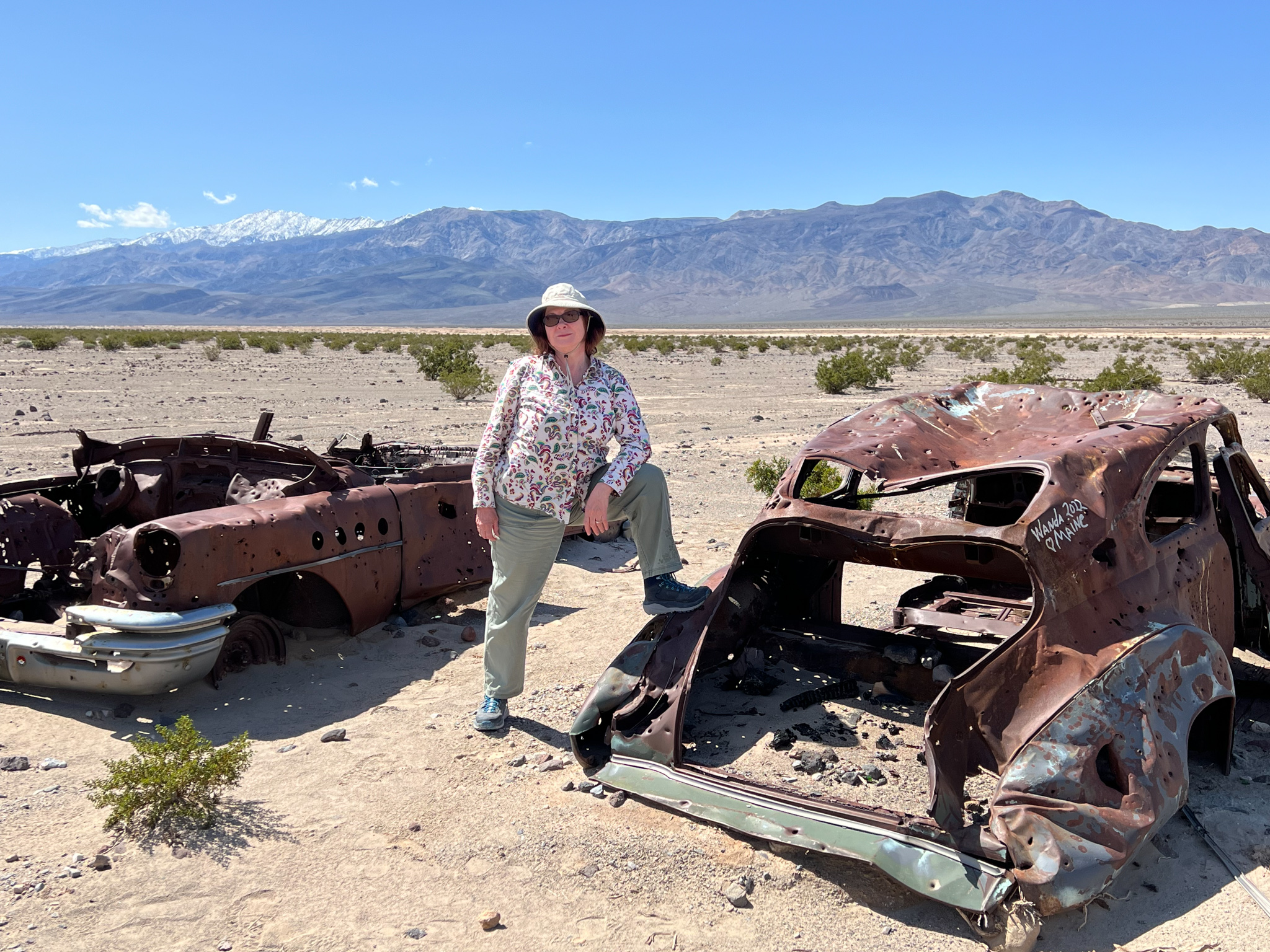
It took an equally long time to return to the main road, but we knew what to expect. Eventually we got there, and with all tires still intact, resumed our westward trek.
Only a few miles further on that main road was Panamint Springs Resort, with a restaurant oasis we had visited a few days earlier. Now on this beautiful day, we enjoyed a “Cali-squeeze” (citrus and beer) and a GLBT sandwich (guacamole BLT)
Next, on to Father Crawley’s Overlook, a pullout near the top of the pass. At the end of a short dirt road is a magnificent vista that showed the Panamint basin we had just explored. We could see the dunes at the end of the sand zone and the landmark hills we had passed. We could not see the small area of water and blooms.
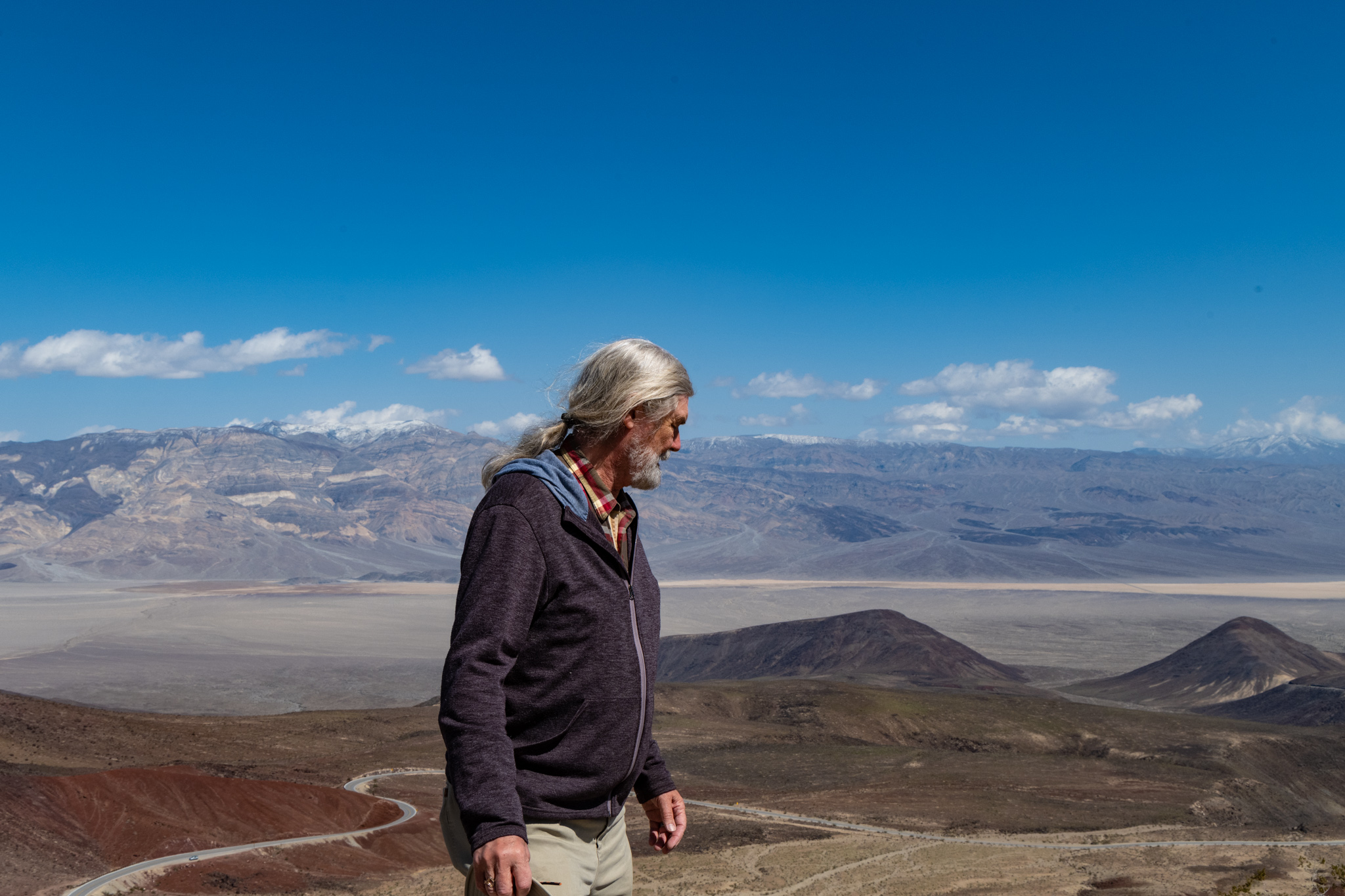
Descending from the pass, we eventually drove past the marker at the Death Valley park boundary– the largest national park outside of Alaska. We were headed toward the town of Lone Pine, but the route had a section of road that was closed, likely from flood damage, and so we had to detour to an area that included Owens Lake– an apparent salt lake that is being “managed”.We learned from an information kiosk that this was a “dust mitigation project”.
Once again, Poldi suggested we explore a primitive road not on any of our maps. I had some trepidation about driving; the surface was white with alkali residue, but a route identified at the kiosk with the name “Dirty Socks Spring Road” was just too irresistible not to seek its eponymous destination.
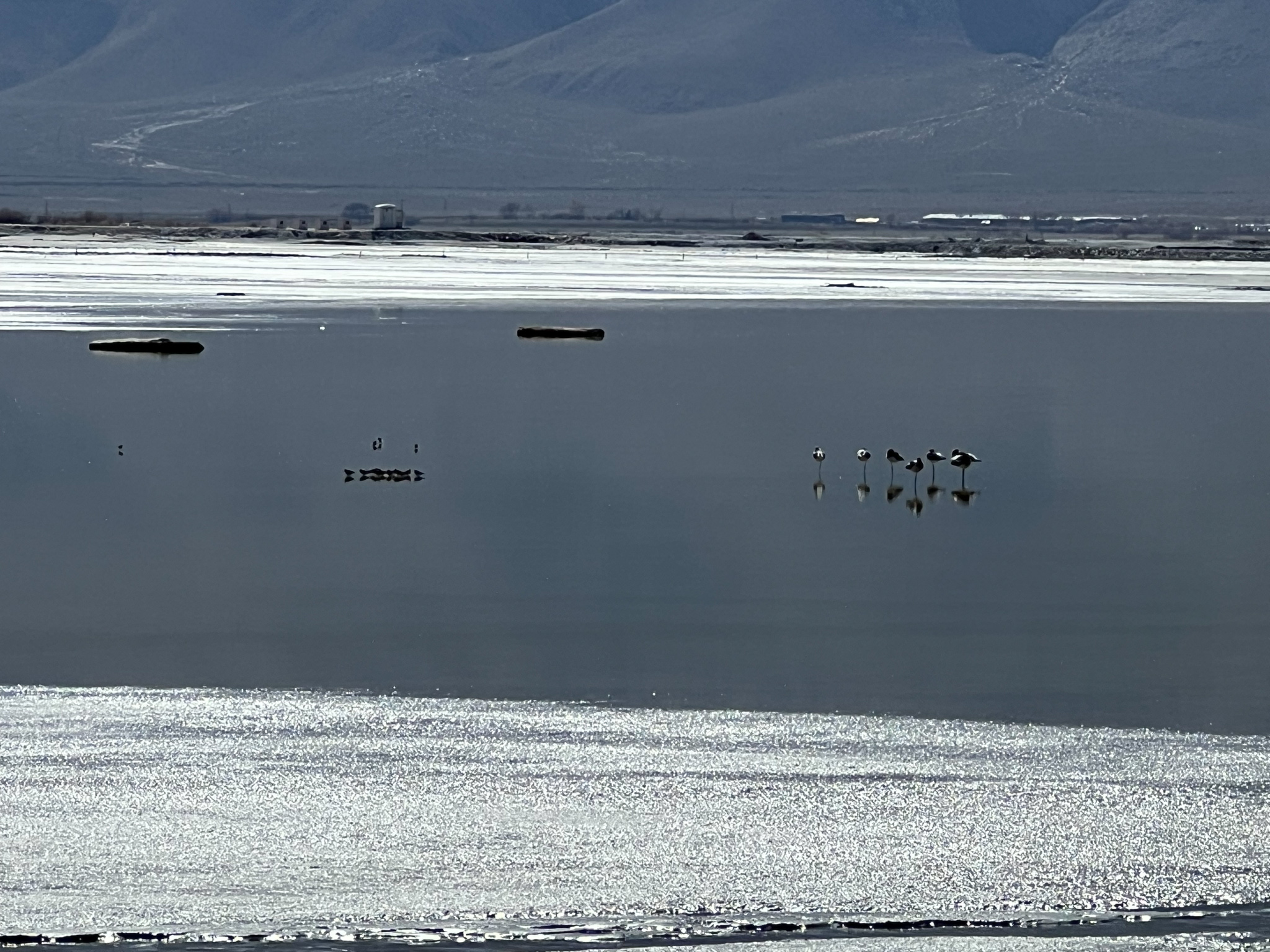
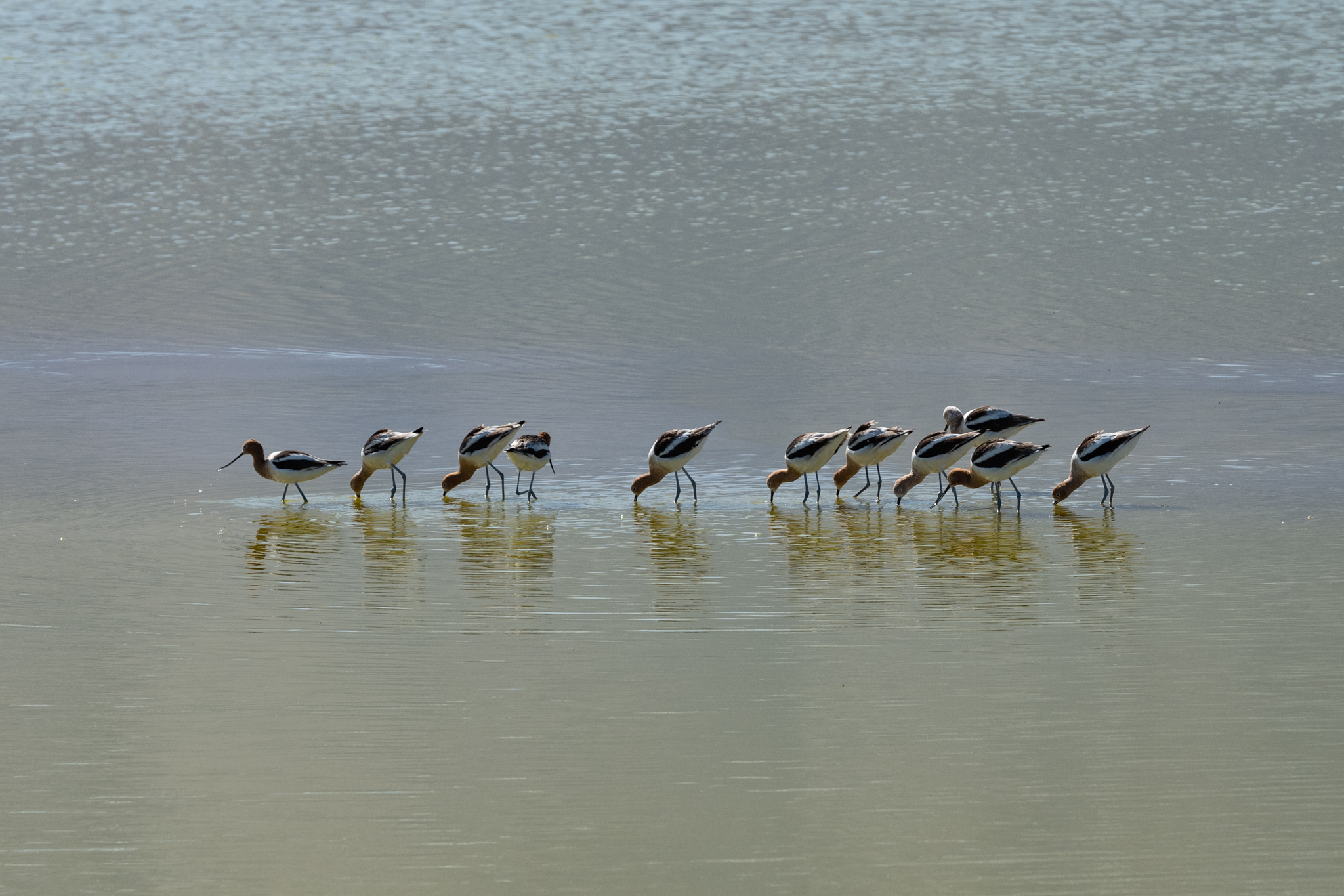
We saw water birds– avocets, sleeping and feeding on the shallow lake. We never did find Dirty Socks Spring, but we encountered the long walls that dam the lake at various locations. They allow a shallow amount of water to cover the entire lake bed, whose bottom is sloped to the south. If not for these walls, the north end would be exposed and dry, a source of toxic dust. The Wikipedia entry for Owens Lake describes a fascinating history of how it went from a once deep body of water to the drained puddle it is today (the city of Los Angeles drank it)!
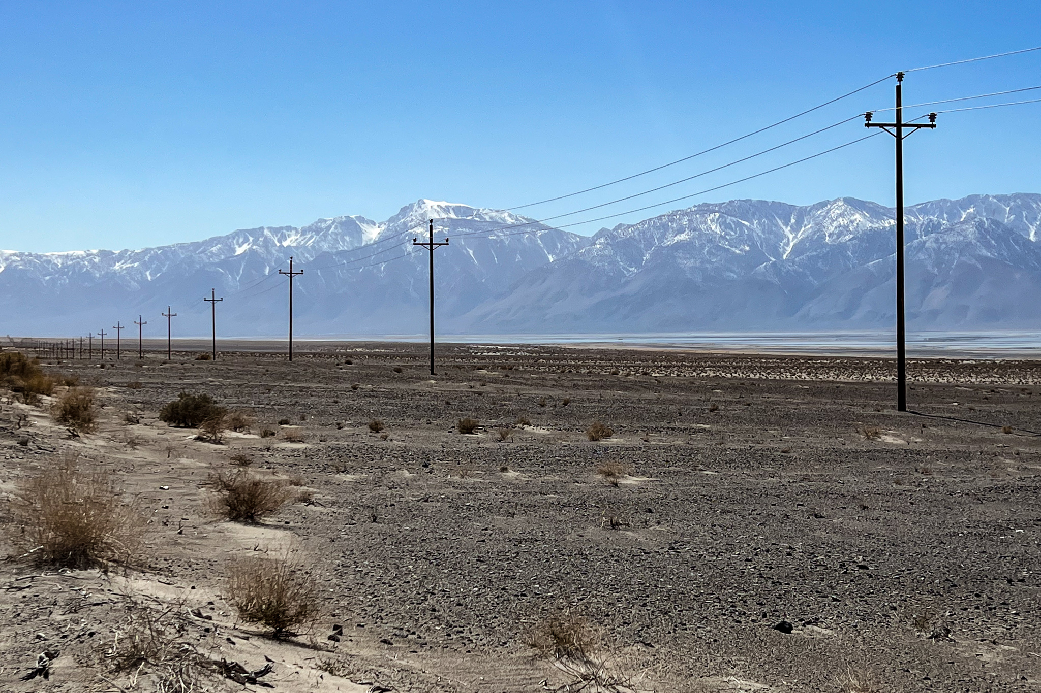
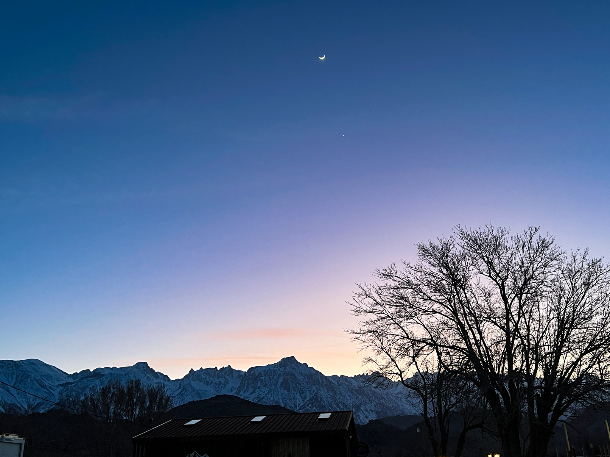
We crossed the lake along one of the water retainment walls, drove past an unmanned guard station, and met up with the highway leading to Lone Pine, a tourism crossroad that had preserved its western feel. After settling into our hotel, and enjoying a meal at the center of town, we walked along Main Street and gazed up at the moon and Venus setting over the High Sierra. It had been a long day from that pre-sunrise hike to now, but it was characteristic of almost every day we had spent in Death Valley, a place where we encountered unusual things in unusual settings.
If you have enjoyed this series of stories of Death Valley, I invite you to subscribe for future posts. They are not always about travel, but I try to keep them interesting.


Pingback: The Quest for Pupfish | Thor's Life-Notes
Pingback: Death Valley Post Script | Thor's Life-Notes