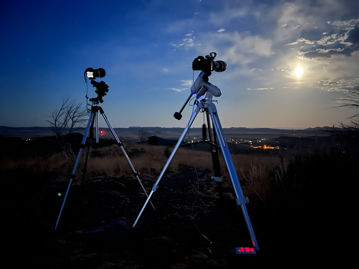
Charcoal Kilns and the Panamint Loop

Stone kilns from 1877.

Unlike our previous visit which was part of an extended road trip, we planned a more streamlined experience this time:  flying to Las Vegas, renting an SUV, and “car camping”, literally, in the desert.  We brought the essentials:  sleeping bags and pads, collapsing camp chairs, a minimalist stove for heating water and canned or dried food, and of course, our French press coffee maker.  The idea was to shift our gear around at night to make room in the back of the car so we could sleep there.  All we needed was a place to pull off the road far enough to qualify for “dispersed camping”, and we could roam freely in the back country of Death Valley, hiking and exploring by day and capturing pictures of the sky at night.  It was a romanticized image which we didn’t quite achieve.

Continue reading

Death Valley Days, and Nights

At Dante’s View, overlooking Death Valley

Death Valley Days” is the title of a long-running television series that I vaguely remember but did not watch.  Now I wish I had.  Thanks to my early-adopter dad, we had a small black-and-white television, the only kind available back then. It would have been just fine since the episodes were shot in black and white. There was no color in those days

I have since had the pleasure of visiting Death Valley, several times.  My first visit was in 1995,  a brief weekend departure from a trade show that involved stealing a blanket from the hotel.  I spent the night with it in my rental car, at Dante’s Overlook, which provided a bitter cold but spectacular view of sunrise on the Panamint Mountains across the valley.   

I wrote about a more recent visit, experiencing the magic of Racetrack Playa, and I was excited to return this year and explore the park further.  Over the next few essays, I’ll try to convey some of my experiences in this unique place on the planet.


previous | beginning | next


If you enjoy this series of stories of Death Valley, I invite you to subscribe for future posts. They are not always about travel, but I try to keep them interesting.

The Rock with Wings

Blending all the frames of the time lapse reveals the star trails above Shiprock (click for full size)

Many of my photographic ventures are purely serendipitous.  Yes, it is important to be at the right place, or the right time, and sometimes both, but there are so many things that can go wrong and prevent the shot that you were planning.  But there are also many things that can happen that are unexpectedly magnificent.  If you have a camera ready and waiting – even for something else—you can capture the unexpected event.

This describes my attitude when setting up a camera for a long nighttime shoot.  Lately, I have been exploring timelapse photography, making exposures every few seconds and then creating a motion picture (mp4 video) from them.  When traveling alone with no fixed plans, I like to head to photogenic landscapes where the skies are clear.  But a joint road trip itinerary with lodging reservations does not permit this flexibility, and I often encounter overcast skies.  I accept this as just one of those challenges to the practitioners of this arcane hobby.

And so, when our homeward-bound trip from a Thanksgiving in Los Angeles took us through New Mexico, and the day’s route ended near Shiprock, a city named for the nearby geologic feature that the Navaho call the “Rock with Wings”, our plans shifted to take advantage of the unexpectedly clear skies.  Although exhausted from a long day on the road, I left the comfort of a cozy Airbnb apartment to go set up cameras in the desert and wait in the cold for hours, hoping to capture something interesting.

Continue reading

Texas Road Trip: Reconnaissance Resumes

After the eclipse ended, I packed up my equipment again; this time I collapsed the tripod legs—I would need the space to pack up my campsite, which I did the next morning.  I heated the dregs of leftover coffee thinking I would be stopping soon for breakfast on the road, including fresh brewed coffee. 

I made the mistake of not stopping in Fort Davis for that breakfast. I thought it was too soon, it was only ten miles from the campground.  But I should have stopped there anyway, because the next towns were too small, or too run down to support a café.  I went all the way to Del Rio, which was too large to have the local flavor of a small down diner.

I did find one however—a Mexican restaurant operating out of a Victorian style hotel.  The staff spoke Spanish, as did the other guests.  It was now lunchtime and I ordered the Monday special:  chili relleno (stuffed chilis?) which were delicious, and with rice and beans, too much.

I continued on toward Eagle Pass, the next large city, but in between was “Radar Base”, which is an intersection of roads where the 2024 solar eclipse is said to be at or near maximum—4 minutes, 30 seconds.  It is a miserable spot however—hot, dusty, windy, with heavy highway traffic and not much shade.  I’m not sure why it has a town designation—a local airstrip and a radio/cell phone/radar tower?

Radar Base. I’m not sure where the radar is. Click to enlarge.

I had intended to stay in Eagle Pass, but on learning that the room rates were $250+, I continued on to Uvalde, a town larger than I expected, and whose notoriety to the world would be established a week later.  There was some conference/convention going on, so the rates were still high, but I had reached the end of my range and desperately needed a shower, so I sprang for the room.

The shower was great.


More Options
I wasn’t expecting to find an eclipse viewing site as I originally hoped—I was too late, all the prime locations had already been booked—or couldn’t be booked (the State Park reservation system only goes 5 months out).

But I felt obligated to document the candidates that I had looked up, as this was the purpose for traveling here.  I could at least take photos and maybe get contact info in case of cancellations.

I located a few more places along the Rio Frio, and the Lost Maples areas along the eclipse path.  There were various resorts and RV parks along a road east of the river, and I stopped at some and inquired.  Locals would stop and talk with me, just being friendly, and I learned a lot about the area. Here are my notes.

Continue reading

Texas Road Trip: Lunar Eclipse

My cameras at work!

I started to set up for the lunar eclipse; it would occur tonight (this was not a drill)!  But by the time I had the tripods and mount in place, I realized that I had left a critical piece of equipment behind—my camp chair.  I left the stuff for a 10-minute trip back to the campsite to retrieve it.

On return, I found the other guy who had obtained a pass for the overlook (required if we wanted to stay past 10:00 pm).  He was an interesting person who was ok with my being focused on setting up rather than chatting. 

A few other visitors dropped by, including one who was on foot with some portable camera gear.  After a while he decided he wanted a different viewpoint and so he hiked away, disappearing below the crest. 

I was ready at moonrise.  This time I could see the moon as it appeared on the horizon.  I centered it in the cameras, started the tracking and started taking pictures.  The moon rose in a light orange color, brightening to white and then about one-half hour later, the eclipse began.

Continue reading

Manitoba Nights

Aurora in the fog. Photo by Eric Persson.

I recently spent a week In our neighbor to the north, specifically the Canadian province of Manitoba.  We had booked a trip with friends to a remote lodge nearly a year prior, and we were finally there!  The travel brochures promised spectacular scenery and wildlife, interesting geology, world class fishing, and northern lights.  I wasn’t all that interested in fishing, but I’m always interested in the other items on that list. (And the fishing turned out to be a highlight!)

Continue reading

Texas Road Trip: Driving Adventures, Mistakes Made

Looking over the (dry) Rio Grande to Mexico. The white canvas arch covers the US Border Station where I would soon be detained.

I intended to visit Big Bend Park and found it on my Texas road atlas southeast of Marfa—except that it was labelled “Big Bend Ranch State Park”.  It had what appeared to be a major route through it, Casa Piedra Road, that I could take and see the terrain and park facilities, then continue through to the town of Presidio, where I could find lunch, and then take another major road back home.

So that was the plan.  But it turns out that Big Bend Ranch State Park is entirely different from Big Bend National Park. I was confused but it didn’t matter. I missed the turnoff for the road through the park and stayed on US 67 to Presidio.

And I continued to follow US 67, thinking it would show me how to get to Big Bend Park.  Eventually I found myself approaching a major checkpoint—the customs and border inspections.

I looked for a way to turn around before actually getting there, but I saw no convenient way to do this and suddenly found myself going through a covered channel with many many speed bumps—aggressive and alternating sides of the lane, then full width and strategically placed.  There was no place to exit; the lane continued on and I thought maybe there would still be a turnaround opportunity.  But there wasn’t, and I was now passing a long line of cars headed in the other direction, nearly all with Texas plates, stopped, waiting their turn to be inspected and pass into the U.S.

Continue reading

Texas Road Trip: Historic Fort Davis and Marfa

Prada Marfa, one of several roadside art installations outside Marfa TX

Fort Davis is the name of the town, “Historic Fort Davis” is the reconstructed early fort, established here in the 1850’s to protect the growing number of emigrants, and the mail and freight traffic to support and supply them in the westward expansion.  My national parks pass gave me entry and access to a walking tour of the fort grounds to see the buildings that have been restored, and exhibits in some of them depicting the conditions and resources of a military outpost.  It was very interesting to learn of the difficult conditions on the frontier, and the life of enlisted men stationed at the fort.  It is probably not so interesting to small children; a rudimentary awareness of US history is helpful.  I recommend visiting in the morning, before the temperatures become excessive.

Continue reading

Texas Road Trip: McDonald Observatory and Lunar Eclipse Practice

A peek through a guest observing port at the HET. The mirror is held by the blue-green frame; a curved reflection of struts can be seen on its surface.

This is a very dark sky part of Texas, and so it makes sense to locate an observatory here.  It is semi-open to the public for self-guided tours at the visitor center, and the grounds hosting three major observatory domes and many smaller ones.  One of them allowed a peek at the 10-meter Hobby Eberly Telescope, a multifaceted composite mirror on a huge mount structure.  I saw it in its resting position, perhaps for maintenance, or an instrument changeover.  As I tried to identify the mirror segments, I realized that what appeared to be the interior of the dome building, was actually its reflection on the mirrors, their reflectivity so high as to make them seem invisible!

Continue reading

Texas Road Trip: Diversion to Fort Davis

Sunset at Davis Mountains

I turned away from the path of the eclipse onto a route that would take me to deeper and darker skies.  There are a number of dark sky areas in Texas, and one of them hosts a famous observatory-  McDonald Observatory, home of the Hobby-Eberly Telescope (10m aperture, tied for 2nd largest in the world).  The nearest town is Fort Davis (population ~1000), a 45-minute drive away. 

Just outside of Fort Davis is Davis Mountains State Park, where, earlier in the day, before leaving the wifi and phone services of Leakey, I was able to reserve a campsite.  I learned by calling that there was a lodge at the state park, but it was full (and had been and would be for quite a while).  Similarly, I learned that the campground was nearly full—six sites remained!  So I provided my credit credentials and reserved one. 

I am still adjusting to the new way of getting away, through the use of smart phones and websites to make camping arrangements.  I understand this can make the process of accommodating an ever-growing set of camping clients more efficient, but it removes some of the spontaneity of life on the open road– exploring without fixed destinations, and deciding at whim the right place to stop for the night.

On my way to claim my reserved campsite, I was diverted from the highway to a Border Patrol checkpoint.  Two uniformed officers, one with a dog, questioned every vehicle.  I asked what they were looking for.  “Narcotics and human trafficking” was the response.  I replied I had neither, eliciting a harsh look.  After noting my Minnesota license plates, they gave me a pass and I continued on.

This was on US-90, at a location a hundred miles or more from the border.  It seemed odd to me that there would be a large permanent checkpoint here.  But I don’t know the patterns of drug and human smuggling.

Continue reading