AI for 3D

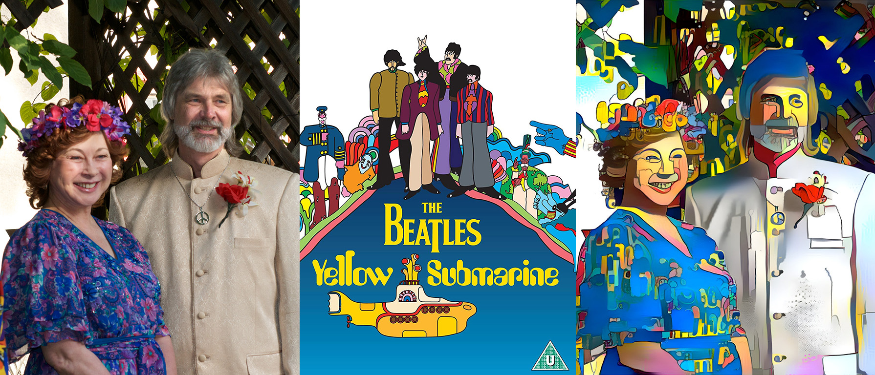
Rendering a photo in a particular artistic style with the help of artificial intelligence

New artificial intelligence (AI) portals such as DALL-E2 that can conjure an image to match a text description, DeepDream, that applies an artistic style to a photograph to turn it into a painting, and plenty of others, are changing the world; here is a fascinating survey

I recently stumbled upon an AI application that I would have loved to have been part of–  creating depth maps from standard, non-3D, non-stereo images.  Why didn’t I think of this?  What a brilliant idea!

A depth map of course, provides that third dimension of distance from the photographer.  And with that information, one can (almost) make a stereoscopic image, a scene in a virtual reality world.

Continue reading

Building a “Dice Tower”

Parts for a dice tower, printed in blue PLA plastic

I had not heard this descriptor before, but when my son suggested it as a project to help his game-focused young family, I did some investigation.  A dice tower is a mechanism to manage the throw of dice in a way that is fun and relevant to the game being played.  Often the games are similar to Dungeons and Dragons.  And so, the theme of a medieval tower, where dice are dropped from the top and randomized by tumbling down to the bottom is a natural match for the theme of the game.

There are other benefits as well.  For my son’s young family, throwing dice is a haphazard and unpredictable experience.  Haphazard is a desired feature of a dice throwing outcome, but when the dice bounce beyond the table into the next room and have to be located and assessed, it slows down the game.  A more constrained way of throwing dice becomes desirable.  A dice tower, with an easily accessed upper deck to launch the dice, and a containment vessel to receive them below is the perfect solution.  

Continue reading

Texas Road Trip: Driving Adventures, Mistakes Made

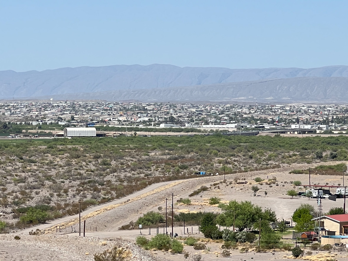
Looking over the (dry) Rio Grande to Mexico. The white canvas arch covers the US Border Station where I would soon be detained.

I intended to visit Big Bend Park and found it on my Texas road atlas southeast of Marfa—except that it was labelled “Big Bend Ranch State Park”.  It had what appeared to be a major route through it, Casa Piedra Road, that I could take and see the terrain and park facilities, then continue through to the town of Presidio, where I could find lunch, and then take another major road back home.

So that was the plan.  But it turns out that Big Bend Ranch State Park is entirely different from Big Bend National Park. I was confused but it didn’t matter. I missed the turnoff for the road through the park and stayed on US 67 to Presidio.

And I continued to follow US 67, thinking it would show me how to get to Big Bend Park.  Eventually I found myself approaching a major checkpoint—the customs and border inspections.

I looked for a way to turn around before actually getting there, but I saw no convenient way to do this and suddenly found myself going through a covered channel with many many speed bumps—aggressive and alternating sides of the lane, then full width and strategically placed.  There was no place to exit; the lane continued on and I thought maybe there would still be a turnaround opportunity.  But there wasn’t, and I was now passing a long line of cars headed in the other direction, nearly all with Texas plates, stopped, waiting their turn to be inspected and pass into the U.S.

Continue reading

Texas Road Trip: Historic Fort Davis and Marfa

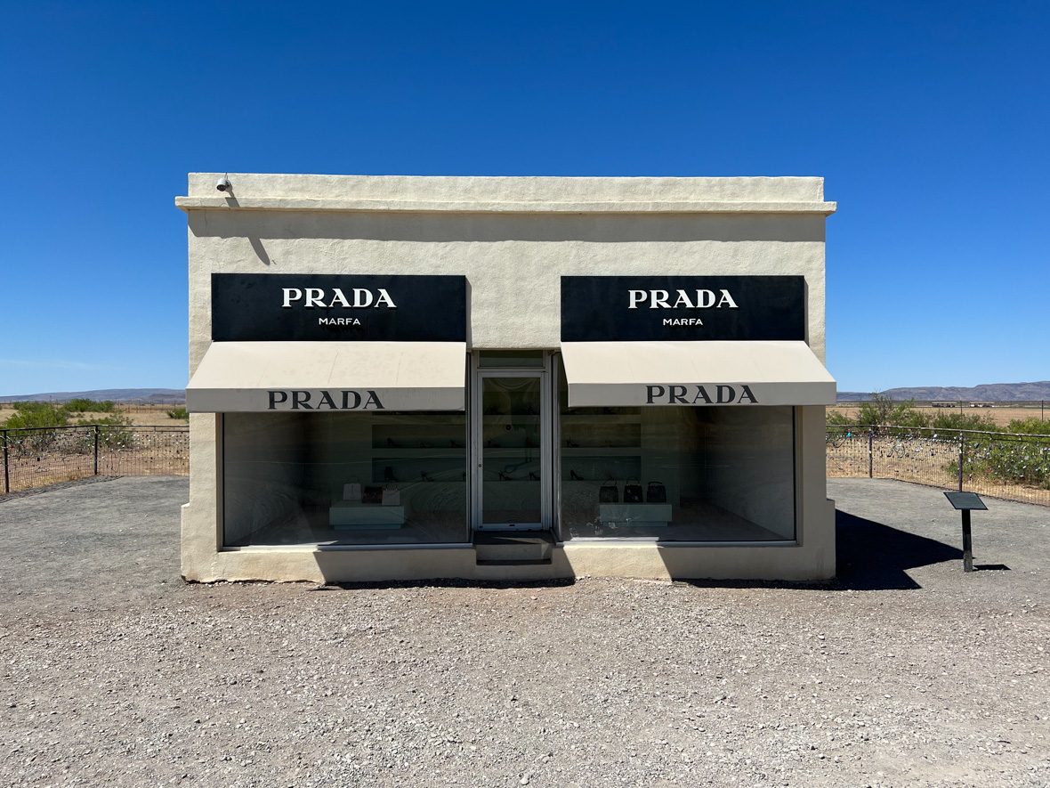
Prada Marfa, one of several roadside art installations outside Marfa TX

Fort Davis is the name of the town, “Historic Fort Davis” is the reconstructed early fort, established here in the 1850’s to protect the growing number of emigrants, and the mail and freight traffic to support and supply them in the westward expansion.  My national parks pass gave me entry and access to a walking tour of the fort grounds to see the buildings that have been restored, and exhibits in some of them depicting the conditions and resources of a military outpost.  It was very interesting to learn of the difficult conditions on the frontier, and the life of enlisted men stationed at the fort.  It is probably not so interesting to small children; a rudimentary awareness of US history is helpful.  I recommend visiting in the morning, before the temperatures become excessive.

Continue reading

Texas Road Trip: McDonald Observatory and Lunar Eclipse Practice

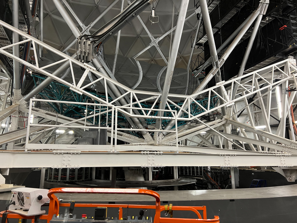
A peek through a guest observing port at the HET. The mirror is held by the blue-green frame; a curved reflection of struts can be seen on its surface.

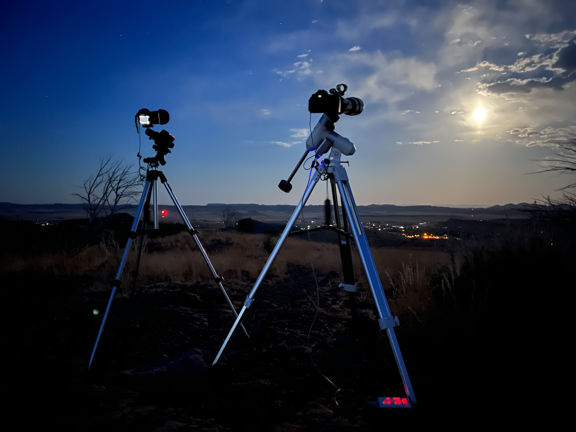
This is a very dark sky part of Texas, and so it makes sense to locate an observatory here.  It is semi-open to the public for self-guided tours at the visitor center, and the grounds hosting three major observatory domes and many smaller ones.  One of them allowed a peek at the 10-meter Hobby Eberly Telescope, a multifaceted composite mirror on a huge mount structure.  I saw it in its resting position, perhaps for maintenance, or an instrument changeover.  As I tried to identify the mirror segments, I realized that what appeared to be the interior of the dome building, was actually its reflection on the mirrors, their reflectivity so high as to make them seem invisible!

Continue reading

Texas Road Trip: Diversion to Fort Davis

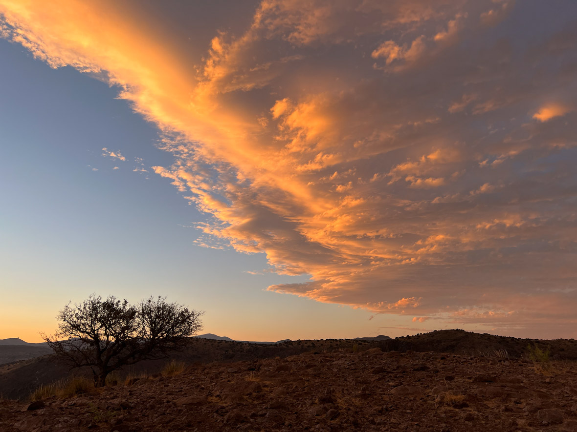
Sunset at Davis Mountains

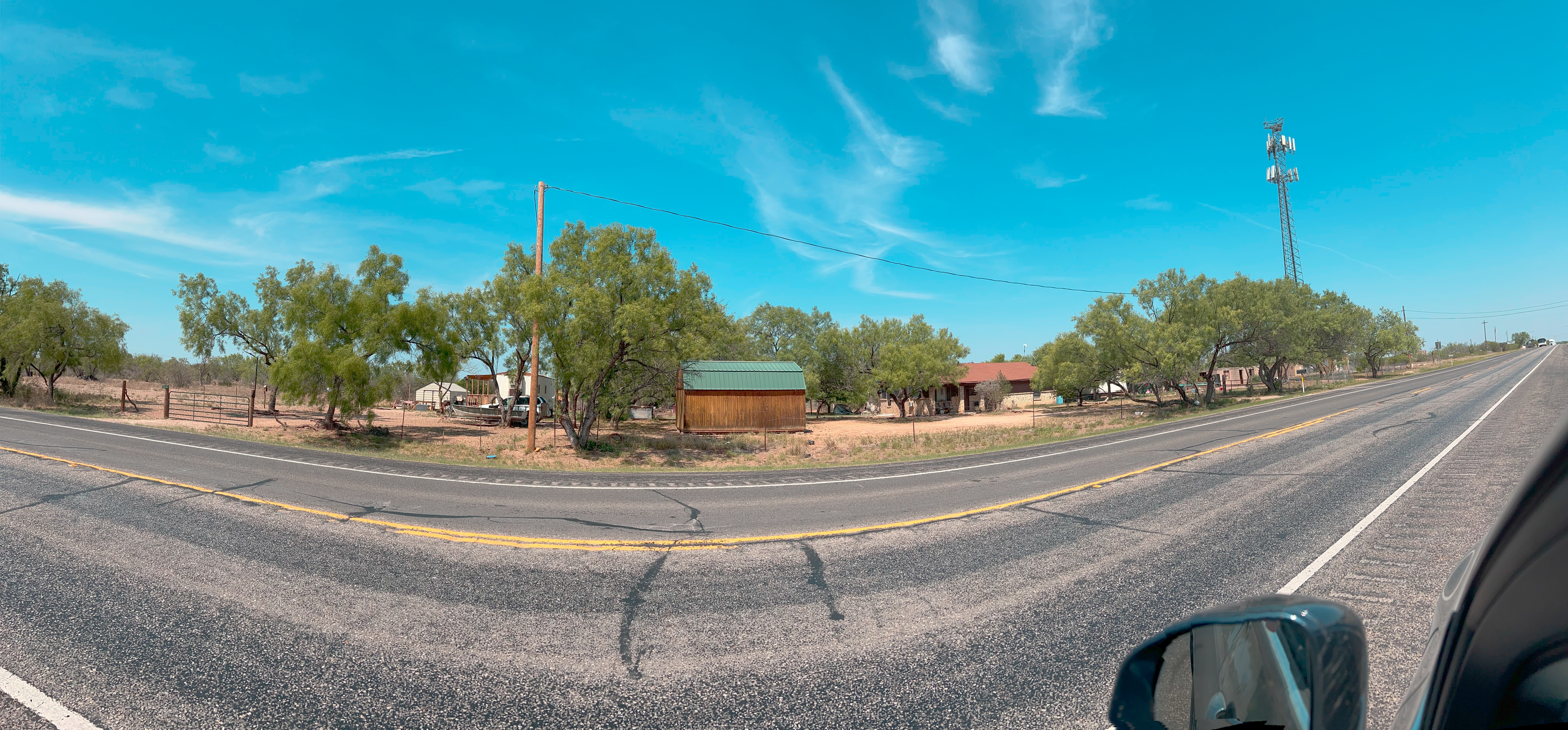
I turned away from the path of the eclipse onto a route that would take me to deeper and darker skies.  There are a number of dark sky areas in Texas, and one of them hosts a famous observatory-  McDonald Observatory, home of the Hobby-Eberly Telescope (10m aperture, tied for 2nd largest in the world).  The nearest town is Fort Davis (population ~1000), a 45-minute drive away. 

Just outside of Fort Davis is Davis Mountains State Park, where, earlier in the day, before leaving the wifi and phone services of Leakey, I was able to reserve a campsite.  I learned by calling that there was a lodge at the state park, but it was full (and had been and would be for quite a while).  Similarly, I learned that the campground was nearly full—six sites remained!  So I provided my credit credentials and reserved one. 

I am still adjusting to the new way of getting away, through the use of smart phones and websites to make camping arrangements.  I understand this can make the process of accommodating an ever-growing set of camping clients more efficient, but it removes some of the spontaneity of life on the open road– exploring without fixed destinations, and deciding at whim the right place to stop for the night.

On my way to claim my reserved campsite, I was diverted from the highway to a Border Patrol checkpoint.  Two uniformed officers, one with a dog, questioned every vehicle.  I asked what they were looking for.  “Narcotics and human trafficking” was the response.  I replied I had neither, eliciting a harsh look.  After noting my Minnesota license plates, they gave me a pass and I continued on.

This was on US-90, at a location a hundred miles or more from the border.  It seemed odd to me that there would be a large permanent checkpoint here.  But I don’t know the patterns of drug and human smuggling.

Continue reading

Texas Road Trip: The Historic Leakey Inn

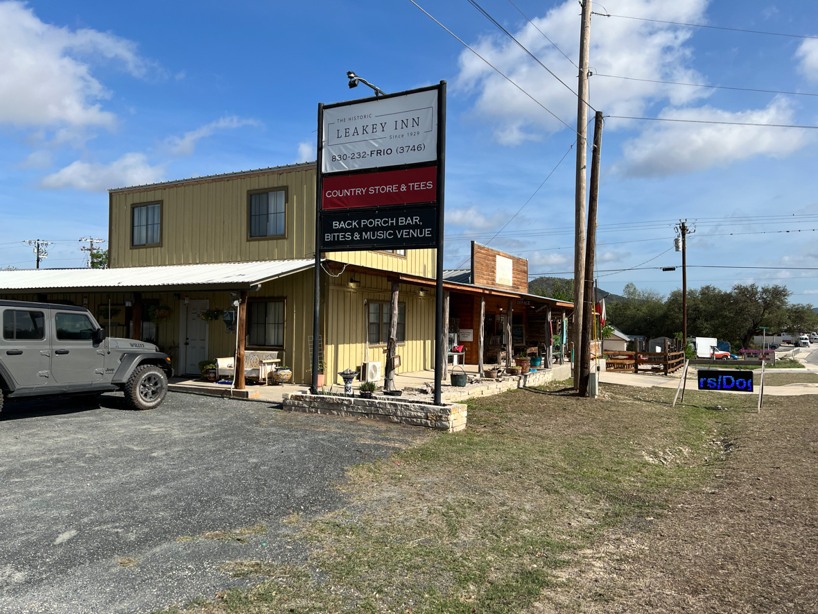
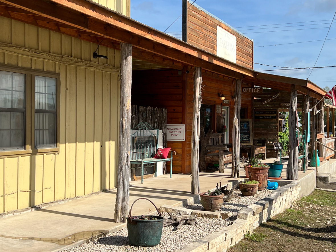
The Historic Leakey Inn

The times of traveling all day and then stopping and finding a place to spend the night are becoming rare.  Places fill up, and it is now necessary to make reservations ahead of time, even for campgrounds, maybe especially for campgrounds during the travel season.  On this day however I was lucky.  Of the few hotels in Leakey TX, The Historic Leakey Inn” still had a room available as I pulled up at around 6:00.

The reception desk was empty when I found it and so I waited, anticipating that someone would eventually notice me.  While I was there, the rustic fireplace lobby was filling with people, locals who greeted each other by name and seemed to be looking forward to some sort of event or activity.  A number of the women were wearing the same style sweatshirt, decorated with a yellow ribbon and declaring “Prayer is the Answer”.

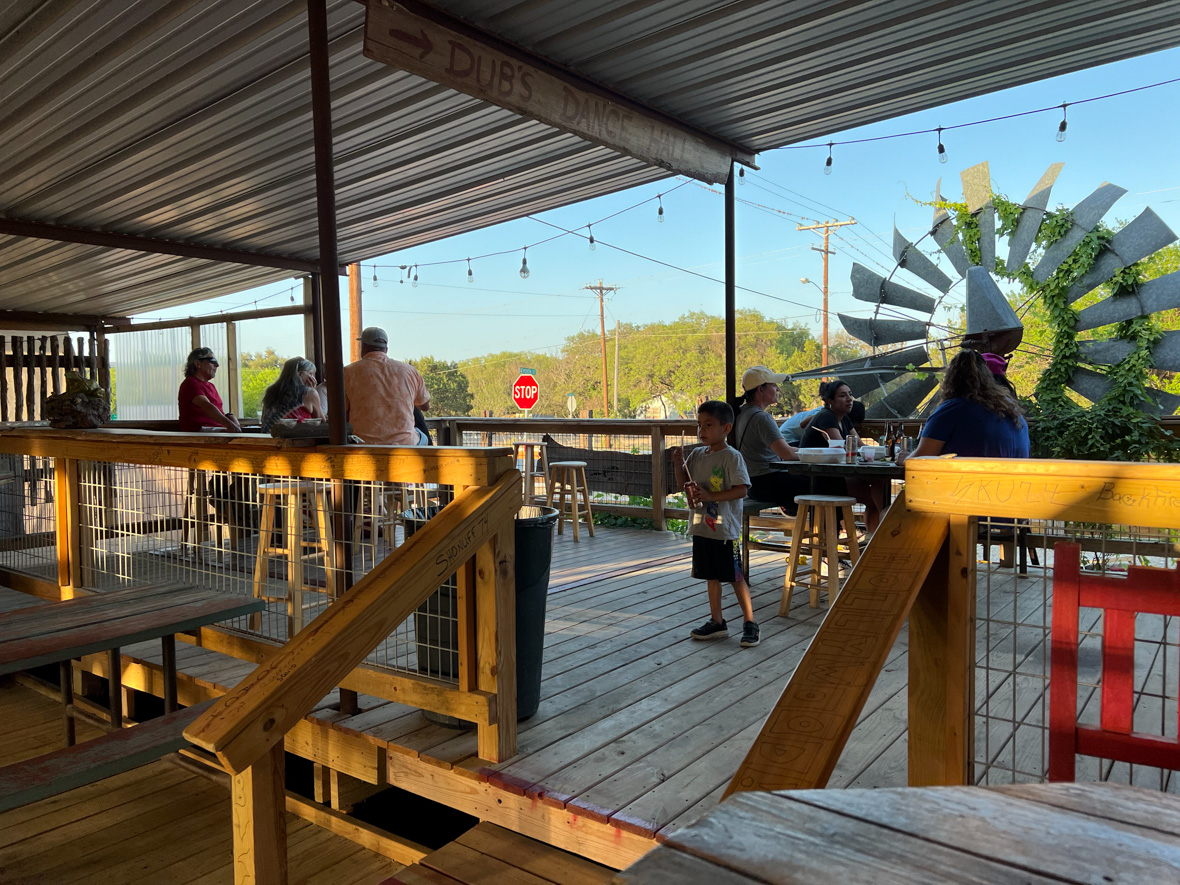
Eventually the manager/owner/wife found me at the check in counter.  Her past training as a flight attendant probably contributed to her natural style, being very friendly and helpful as she located a room for me.  I learned that there was a large patio and dining room that was offering their nightly specials—drinks and a few food items.  This was what had attracted the locals to this time and place.  The host told me that they had hatched this idea a few years ago, but it had now become this popular “monster” that they had to keep up with.  Oh, the burden of a successful business!

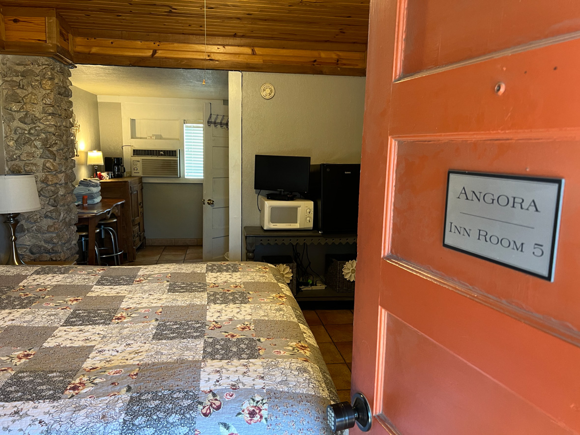
After settling into my rustic but clean room with stone walls and too few outlets for my collection of digital gadgets, I went back to the patio lounge and ordered a margarita.  The young bartender had to check my ID.  Not for my birth date, but for membership.  Seeing my confusion, a man next to me explained that the Texas rules for small town liquor licenses required I join a private “club”, before they could serve me.  The man turned out to be the manager/owner/husband, and he went on to explain that this was one of several defects in the state’s liquor laws, which for some reason the governor had not seen fit to correct in a recent update to those laws.  The last thing I wanted to do was discuss politics in Texas, so I said (aware of my Yankee accent) “That’s interesting.” 

I am now a full-fledged member of the “Leakey Inn Club”.

I also ordered one of the food items offered that evening: “Tacos Tapatio” a descriptor I had to look up, which meant “tacos from the city of Guadalajara”.  Maybe the two cooks working furiously in the small kitchen were from there.  The tacos were unique rolled up tortilla tubes of carnitas, deep fried, then covered with lettuce and veggies in a white sauce like coleslaw, with sliced tomatoes on top.  Delicious!

In fact the Mexican food has gotten even better the farther south I go!  The previous night, in Llano, I enjoyed a burrito with beef, jalapenos, and other goodies.  This just kept proving there was more to discover.

The Texans in this rural area are hard to describe—they seem like ranchers, mechanics and laborers, often wearing seed caps, usually with short-cropped hair but many with extensive beards of various forms—full beard, chin beard, mustache, each trying to be distinctive if not distinguished.  They are boisterous, in a way that is both polite and rebellious, which, to my surprise, I found endearing.

previous | beginning | next

Texas Road Trip: Hill Country Eclipse Survey

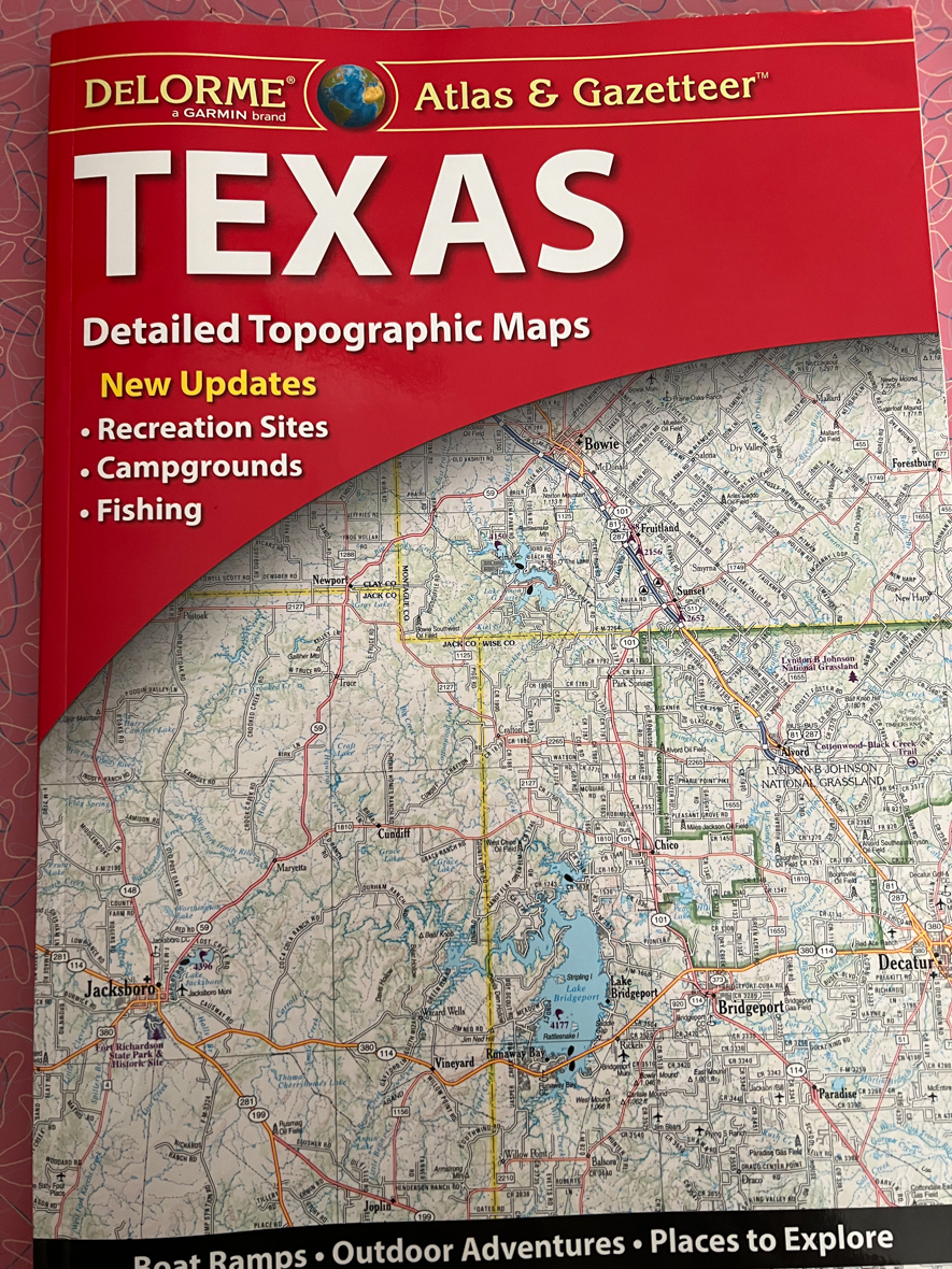
A valuable reference for finding observing sites. No batteries or network connection required.

I spent the day driving southwest along the eclipse path visiting candidate viewing sites that I had researched prior to the trip. I found them with the help of Google Maps of course, and with the wonderful customization of it for the eclipse by Xavier Jubier. I also bought the most recent version of the DeLorme road atlas for Texas. I actively looked for the places closest to the center line with the longest totality duration. At the time I thought I was two years ahead of schedule, not two years behind! Here are the notes I made.

Continue reading

Texas Road Trip: Start at the Top

I headed to the northernmost point of my eclipse path survey, to Poppy’s Pointe, an RV park with cabins on Buchanan Lake.  It reminded me, not pleasantly, of a place we had stayed along the Ontario shore of Lake Superior

As I drove in and located the office, I was met by a man in a golf cart.  I asked if he was the owner—no he was the maintenance guy, but he could take me to her, get in.  I got into the cart and he drove about 100 feet to her trailer.  She seemed a little annoyed but took me to her office in her golf cart, about 150 feet back from where we had just come.

I eventually told her about the eclipse in 2024.  She said she was contracting the whole place to someone, they just had to agree on a price.  She also told me that she had been getting calls for four years.  The property is 750 feet from the eclipse centerline.  This was the moment when I realized that despite being here two years ahead, I was already too late!

Poppy’s Pointe is a private RV park.  There are some other parks on Buchanan Lake which for some reason were not on my list to stop and visit.  I wish I had, because Black Rock Park also has camping (tents and RVs) and cabins.  It is part of the LCRA Parks system (Lower Colorado River Authority).  From their website, it looks like the reservation system goes one year out. 

There are numerous other resorts around Buchanan Lake.  Check Google Maps to find them; It may be possible to book them for the eclipse.

Continue reading

Texas Road Trip: Getting There

There is a direct route from Minneapolis to the eclipse path in Texas—just take I35 to Austin and turn right.  It is not a terribly interesting route, and you’ll be sharing it with the trucking industry, but it is fast—at least where there isn’t construction. 

The cool rainy weather of early May in Minneapolis gradually became warmer as I drove south.  By Iowa, my jacket was no longer needed, and wouldn’t be again.  By the time I got to Texas, the temperature would be 100 degrees, and reached or exceeded that temperature every day I was there.

I was trying to cover the miles quickly, so I did not take on the overhead of overnight camping, instead staying at traveler’s hotels, where I still struggled to get a good sleep—perhaps the combination of too much coffee and caffeinated non-alcoholic drinks.  But I did get “free” breakfast and recharged my cooler with hotel ice and continued on, not quite reaching my destination goal each day.  I stayed at Emporia instead of Wichita, Waco instead of Austin.

As I drove along the interstate, I noticed that the roadside rest areas, which are reliably spaced every 50 miles or so in Minnesota, became infrequent, and then completely absent after Iowa.  Missouri and Kansas had none, and Kansas Interstate 35 was a tollway!  It had “service islands” for gas and snacks, but I didn’t find them very appealing and did not stop at any.  I saw one rest area in Texas, but by the time I saw the sign, it was too late to exit.

Near the Oklahoma border with Texas, I stopped for a ham sandwich at a local stop.  Outside was a sign listing mileage to cities in TX and OK.  No entry was there for Austin.  I asked the two women running the shop “Why no Austin?”  In her distinctive (and pleasant) Oklahoma accent, one replied, “Maybe no one wants to go there.”

Continue reading