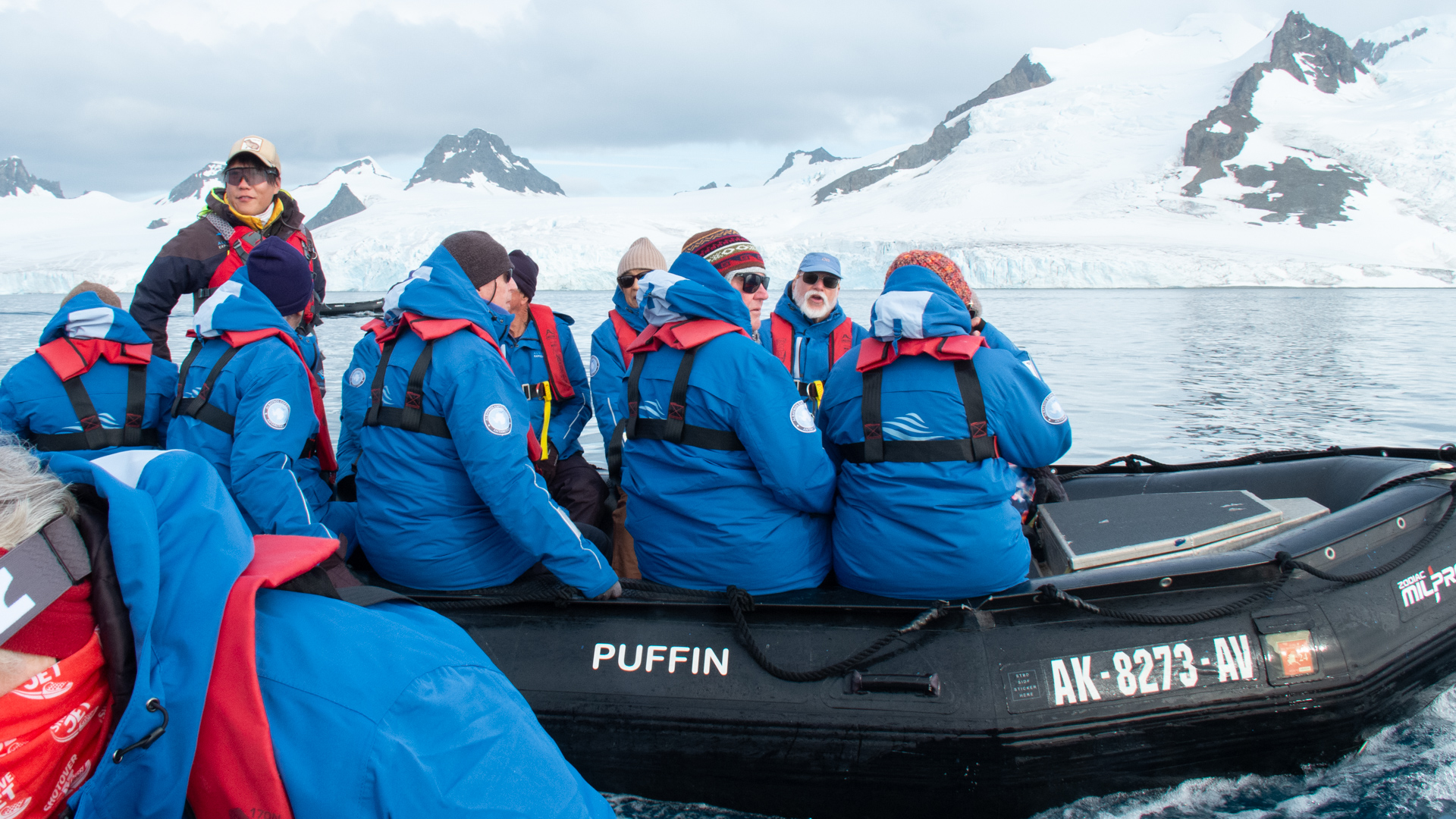
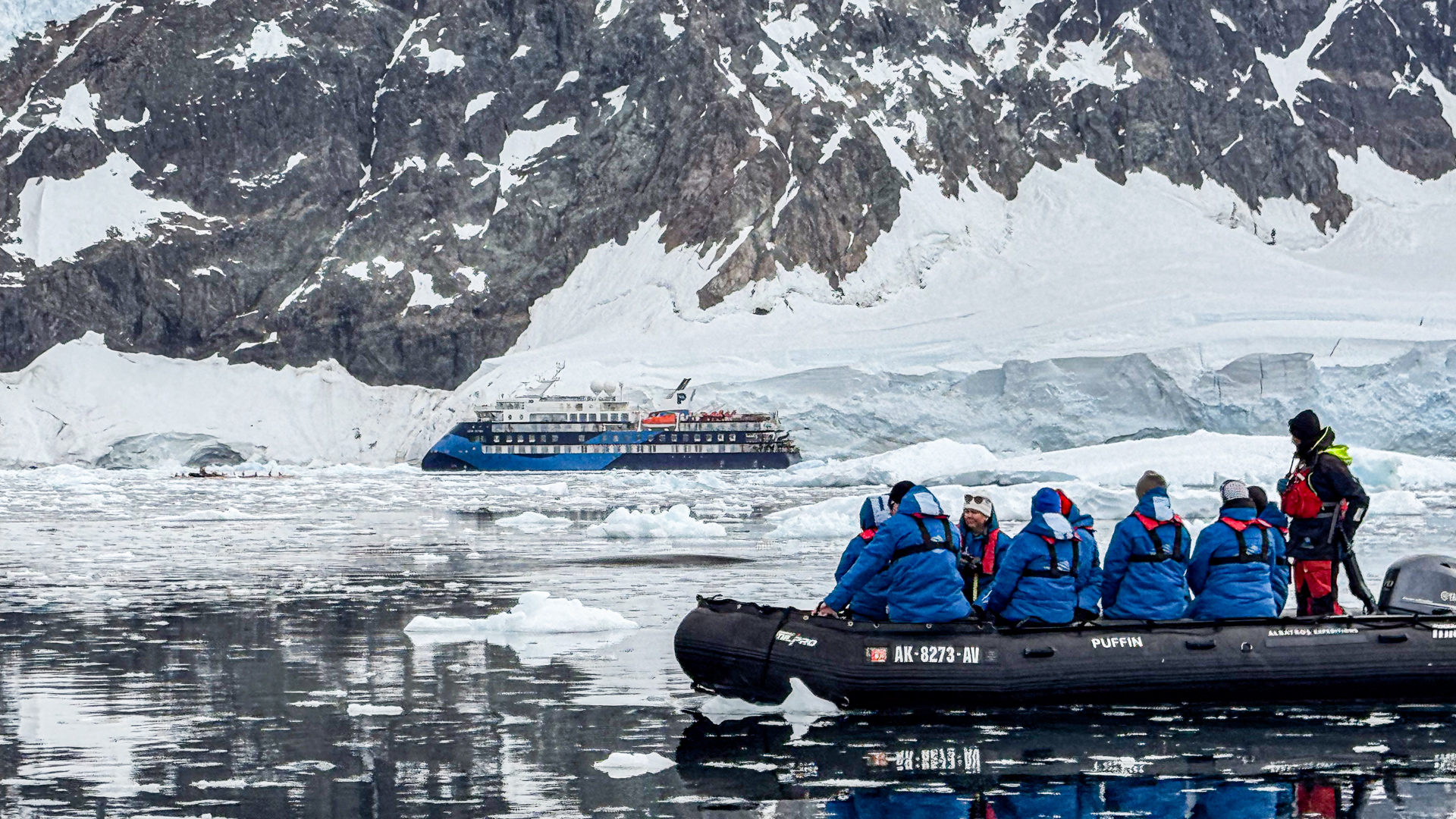
“Zodiac” is a trade name for the small boats made by the original manufacturer, Zodiac Nautic, but it has become a generic reference for inflatable boats of this type. Ocean Victory has a corral of twenty such boats (from Zodiac-Milpro, the military/professional division of the company).
The management of passengers onto and off of these crafts is no small matter. We were given detailed training instructions on how to step into and off of them from the “mudroom” deck only a few feet above sea level. We were taught the “seaman’s grasp”, a double handlock with the crewperson assisting us on and off the Zodiac. There were strict rules about how and where to sit on the rubber pontoons. No standing without permission.
Barrientos in the South Shetland Islands was a bonus stop, one which was possible because of our smooth transit of the Drake Passage. And if the weather was favorable now, but uncertain later, the expedition crew wanted to make sure that their passengers would have at least one landing experience on this tour.
The good weather held, and our next stop was to the actual Antarctic Peninsula at Foyn Harbor and Portal Point. We could finally say that we had set foot on the seventh continent.
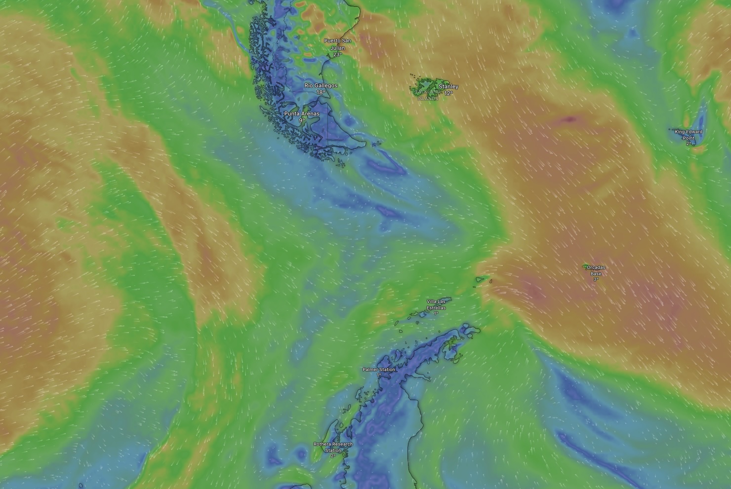
Screenshot from windy.com, a site that makes predictions of the wind speeds and wave heights. We were most interested in the area between Tierra del Fuego and the Antarctic Peninsula.
Among the other things about which the tour operators cautioned lowered expectations, was the ease of crossing the Southern Ocean, a notoriously challenging passage famous for foul weather and high seas. The 1000 kilometers between Argentina and the Antarctic Peninsula is known as the Drake Passage. We had heard rumors of the tour that had immediately preceded us: the wind and waves were so extreme that they had to abandon their planned route to Antarctica and instead travel to the Falkland Islands. Their tour featured many Antarctic-like things, including Emperor Penguins (which we would not encounter), but it was not Antarctica. And I don’t think anyone’s travel insurance would cover that distinction.
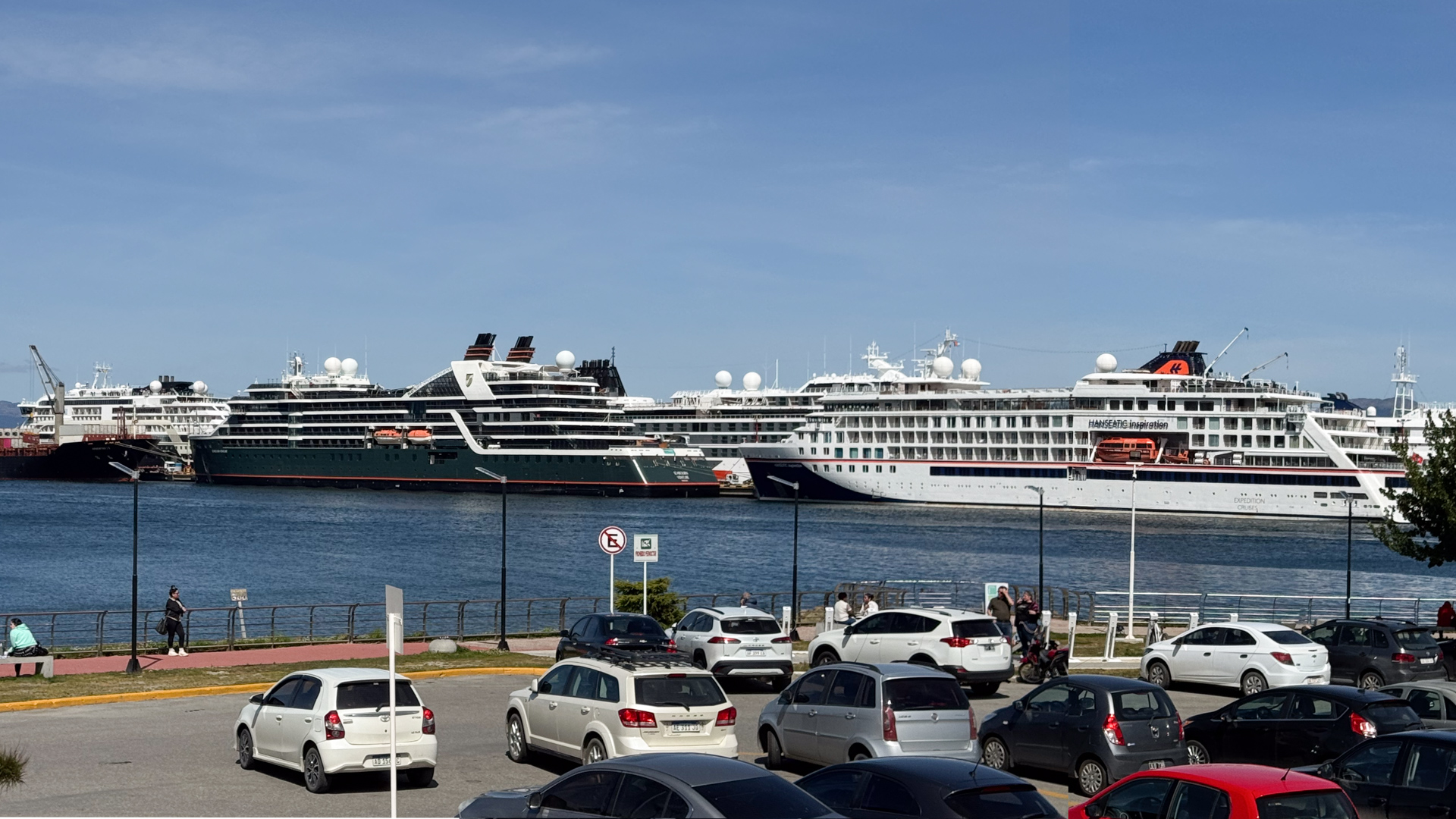
The harbor at Ushuaia Argentina, with tour ships preparing for their next voyage. These are “expedition class” ships capable of navigating the icy waters of Antarctica..
The heart of the Road Scholar Antarctica tour is a 9-day voyage on an “Expedition Class” ship, the Ocean Victory. The ship’s schedule is fixed; when it departs the dock, there is no taxi or flight to catch it at the next stop– “that ship has sailed”.
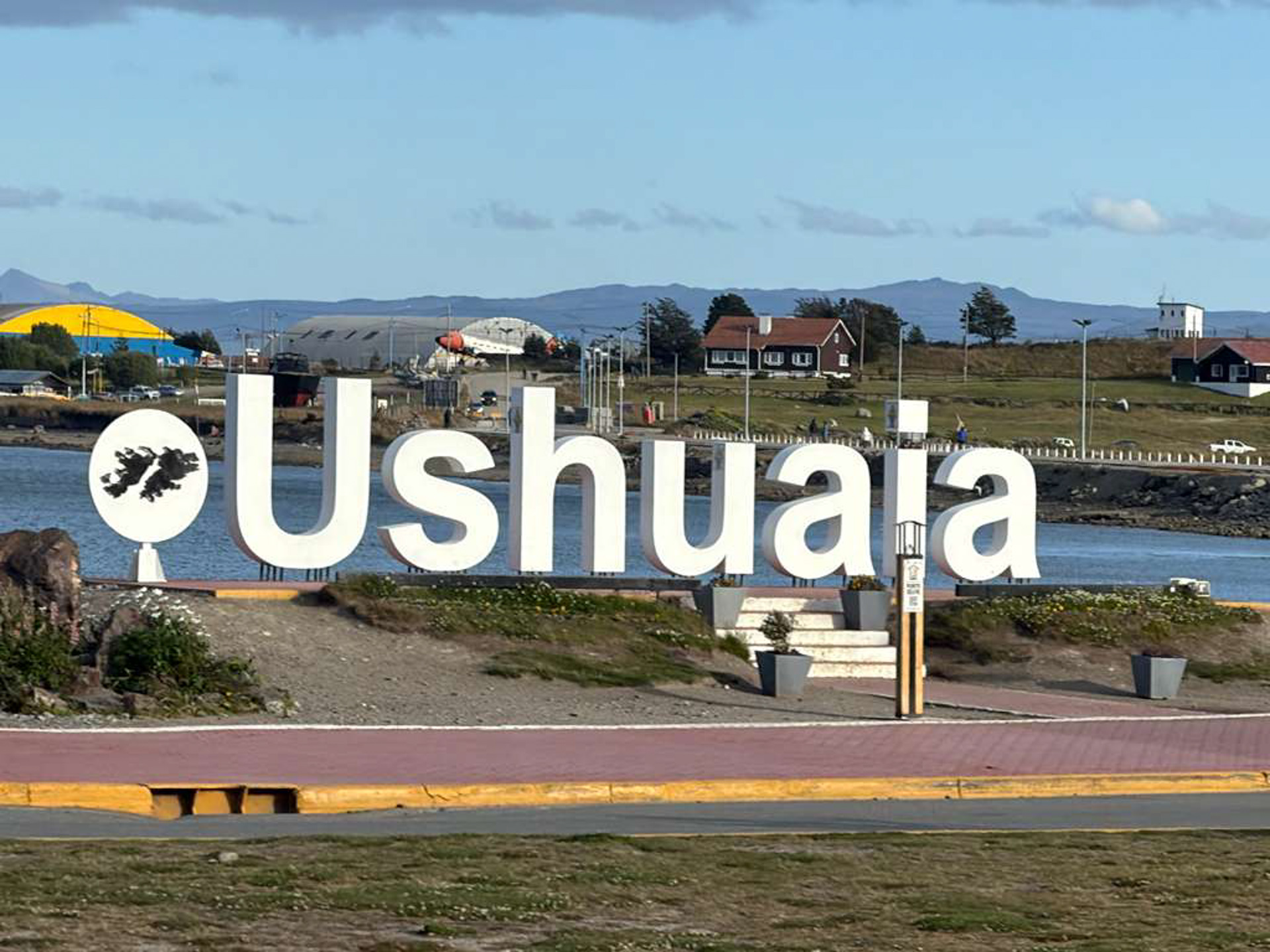
I have written about my visit to the “Top of the World Store”, and now I get to write about visiting the “End of the World”, which is what the town of Ushuaia in Argentina calls itself (Fin del Mundo). And beyond the end of the world lies… Antarctica!
I have lobbied to see the seventh continent for a few years now, and after testimonials from friends who have taken that trip, Poldi showed some interest. It is not natural for her; she’d rather go someplace warm in the midst of our Minnesota winter, not to an ice-covered land populated by penguins. But she will sometimes admit regret at not joining me on an aurora viewing tour in northern Sweden because of concern about the subzero temperatures. It turned out that it was subzero Centigrade, not Fahrenheit, a big difference.
And the same was true in Antarctica. The weather would feature the summer temperatures of the southern hemisphere, a time when wildlife returns to feed on the rich nutrition of the Southern Ocean. Seabirds and sea mammals are abundant, the ice is melting, and outlandishly shaped icebergs provide landing zones for them.
It is an expensive trip and I later learned why (keep reading). And unlike during grade school when I first learned about Antarctica, and when only research scientists could travel there, we now have a choice of tour operators that cater to sufficiently adventurous travelers. They are not all equivalent however, and we encountered communication difficulties with the first company we approached to book a trip. Considering it a red flag, we shifted to the group we had had a very positive experience with for our tour of the Baja Peninsula. Road Scholar is a nonprofit organization that caters to “lifelong learners”, people who would rather listen to a lecture than go shopping at the tourist malls. Perhaps it is not surprising that their clientele skew older (mostly above 50). This is ok with us, and in fact, this self-selected demographic fits us just fine.
Their prices were higher, but having had one positive experience with them, and considering the overall uncertainty of this particular tour destination, we signed up. We were not disappointed. They were responsive to all of our questions and accommodating to our schedule (we had travel days of our own before and after their itinerary). They took care of us throughout.
I will be making a few travelogue-type blog posts about this trip and offer a few photos. I hope you enjoy them.
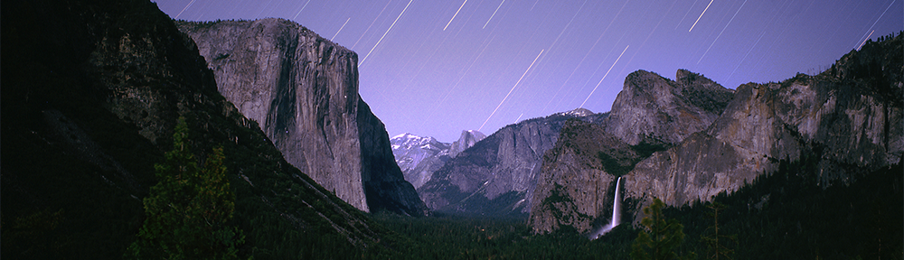
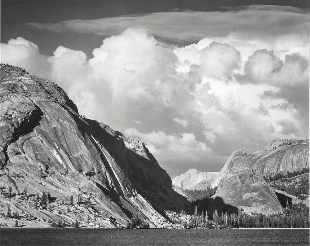
Tenaya Lake, Mount Conness, Yosemite National Park, by Ansel Adams.
My dad’s younger brothers were favored uncles; they were grown-ups, yes, but they were fun. Bob, the youngest, was only a half-generation away from me. After spending a year in Viet Nam with the Navy, Bob had returned to Alameda California in 1972 to complete his service. He arranged for my brother Eric and me to spend time visiting him there during our spring break. The week with him was quite an adventure for us teenagers. It left a strong impression of California culture and provided an intimate look into the life of a highly regarded adult. We met the wonderful woman who would become our Aunt Karen. They planned to wed in June later that year.
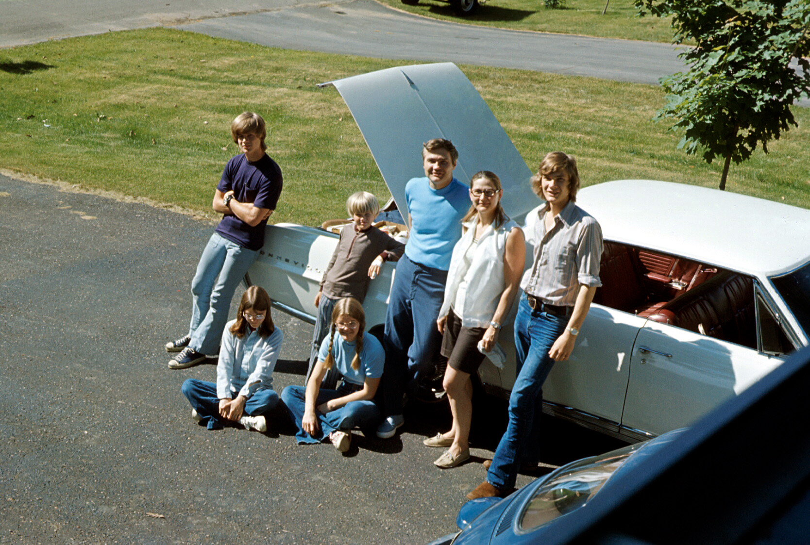
Their wedding became a focus for the summer, and my dad arranged a complex family summer vacation to attend this event. We numbered seven, and were no longer small enough to all fit into our Volkswagen bug as we once had. Nor could we fit in the large Pontiac Bonneville, later known as the Great White Whale, especially since we were bringing camping gear for Dad’s planned post-wedding vacation activity: backpacking through Yosemite Park. So both vehicles were recruited for the cause. We had four licensed drivers in our clan and could tag-team the drive to California and back.
I described this backpacking adventure in a previous post. After that memorable experience, we continued by exploring Yosemite Valley. In addition to the famous views of Half Dome and El Capitan, there were art galleries! Yosemite was the adopted home of a number of artists, including photographer Ansel Adams, who had a studio and school here. Many of his images were on display and available for sale.
In 1972 our family went on a road trip to California. It was to attend my uncle’s wedding. Having just completed his service as a medical officer in the Navy, he was marrying a California girl from a well-known family. I had to look up the word debutante.
The wedding served as an excuse for my dad to extend our travel to California for his brother’s wedding, by adding on a backpacking trip to one of the premier wilderness areas in the world—Yosemite National Park. He had become fascinated with hiking backcountry trails ever since some backpackers emerged from the forested slopes of Glacier Park into a clearing —a roadside stop where our family was, at that moment, enjoying the amazing view. We noticed them from within our rented Dodge “motor home”, an early incarnation of what today is the ubiquitous recreational vehicle. As we watched the hikers organize themselves for the next leg of their backcountry journey, I remember Dad’s respect and curiosity about them. Clearly, the backpackers made a strong impression.
In the following years, Dad took each of his kids in turn on a backpacking trip to teach, and to learn further for himself, the techniques and pleasures of hiking in remote, beautiful settings with nothing more than what you carry on your back.
And now he was ready to go on a backpacking trip with the entire family. This time he needed to be more nimble and have more flexibility than a giant RV could offer. And now that more family members were licensed to drive, we would take both of the family cars: a high-capacity Pontiac Bonneville, later referred to as “the White Whale”, and the compact, but near-indestructible Volkswagen Beetle, which had survived numerous stick shift training sessions of young drivers.
I think this is a picture of us in front of the Bonneville, with the Bug showing slightly in the foreground, perhaps as they are being loaded. The fashion styles of the day are clearly displayed.
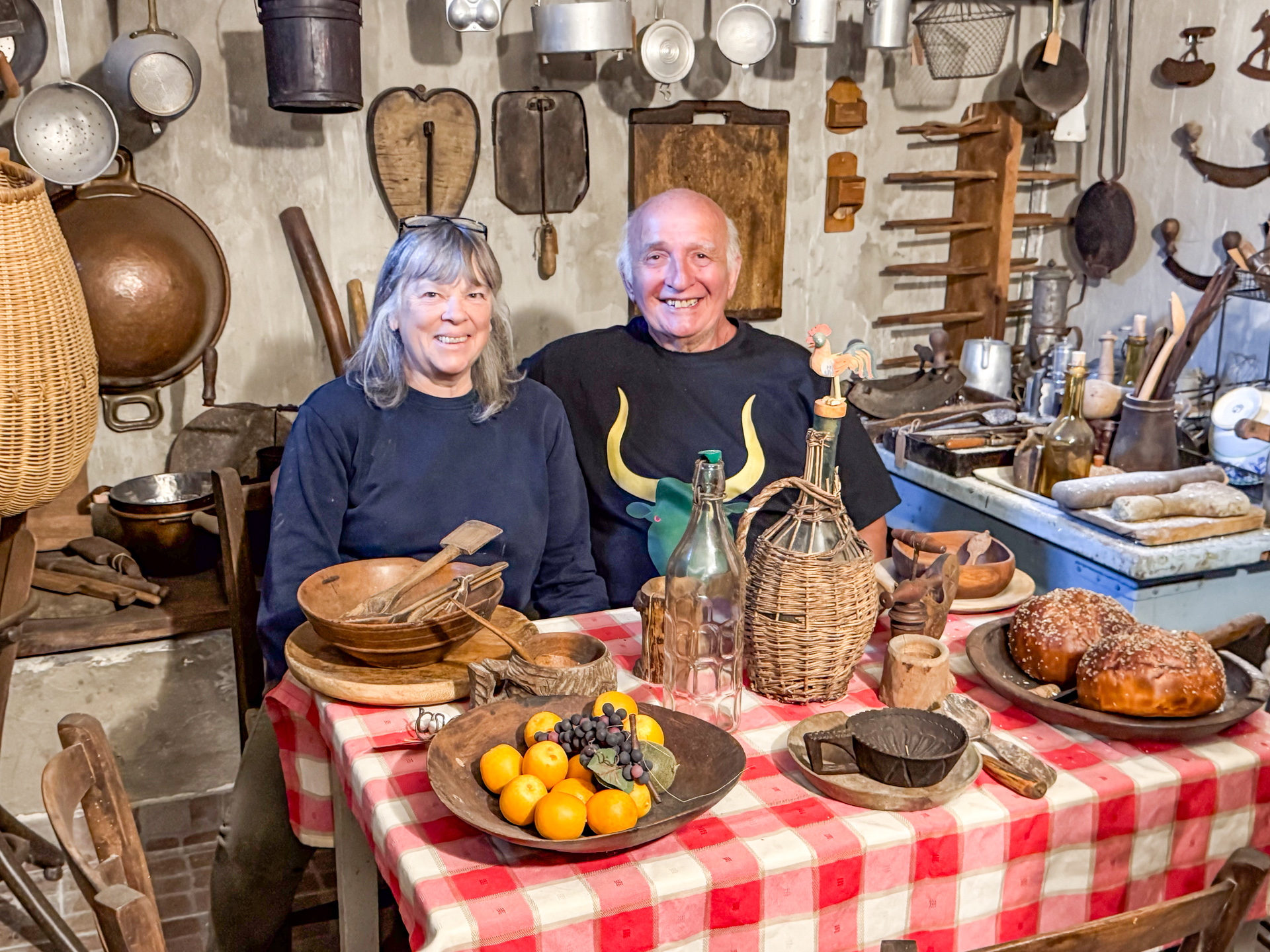
Mario and Rossella are collectors of antiques, especially antique tools, essential devices in the time before the invention and use of engines and motors. In this last album of the series, here are some of their treasures. Maybe you can help identify some of them!
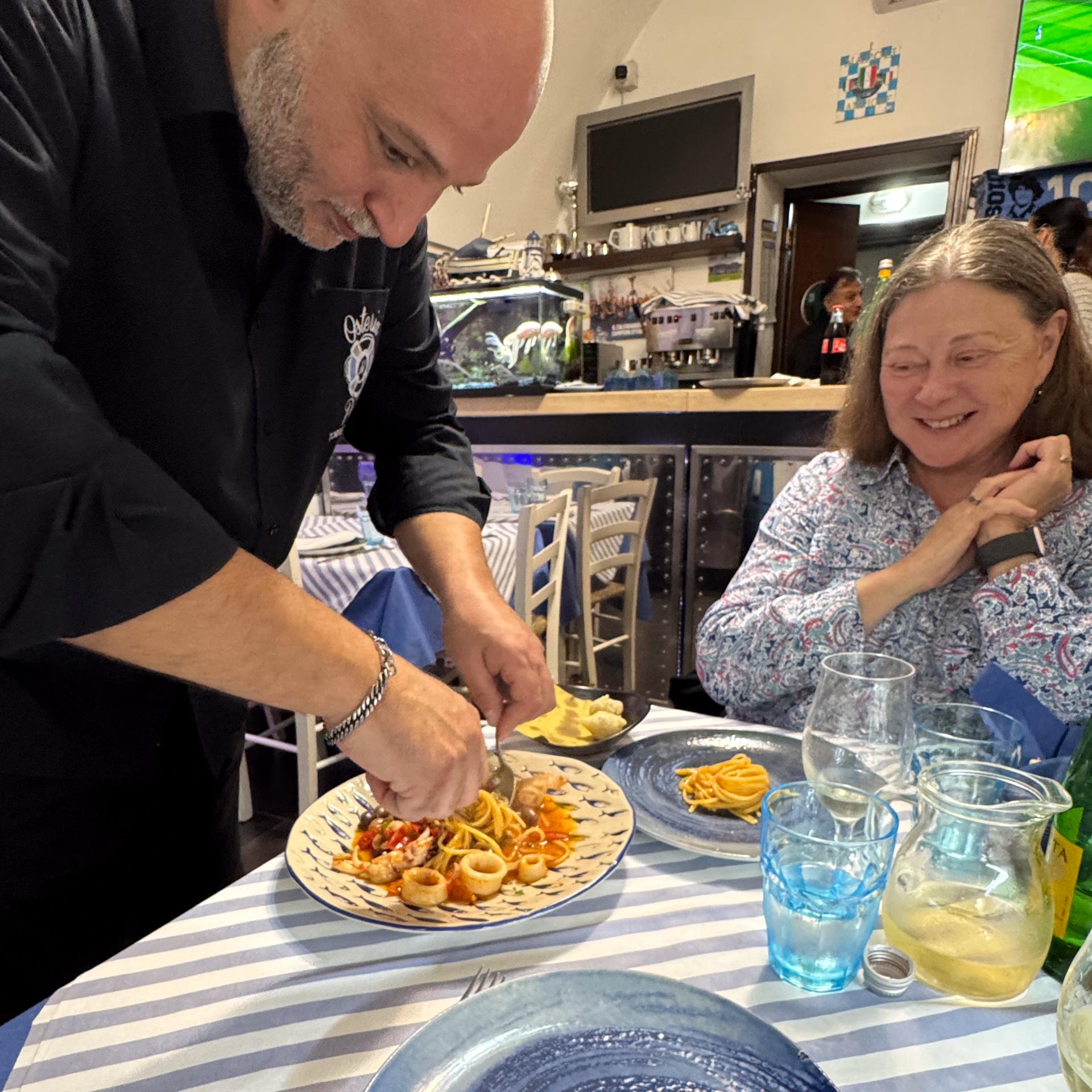
When traveling in Italy, I am aware of the cultural differences in subtle ways. I notice that the urban landscape is not littered with franchise restaurants. Yes, McDonald’s has a presence, but it is a small one. There do not appear to be nationwide Starbucks or Dairy Queen-equivalent chains; instead, local proprietors set up espresso bars and gelato shops. When Italians go out to eat, they don’t ask what ethnic cuisine to seek. There are few non-Italian options (mostly Asian), because Italians just can’t find anything better than their own. And they have good reason to think so.
Here is a sampling of the food we enjoyed during this trip.
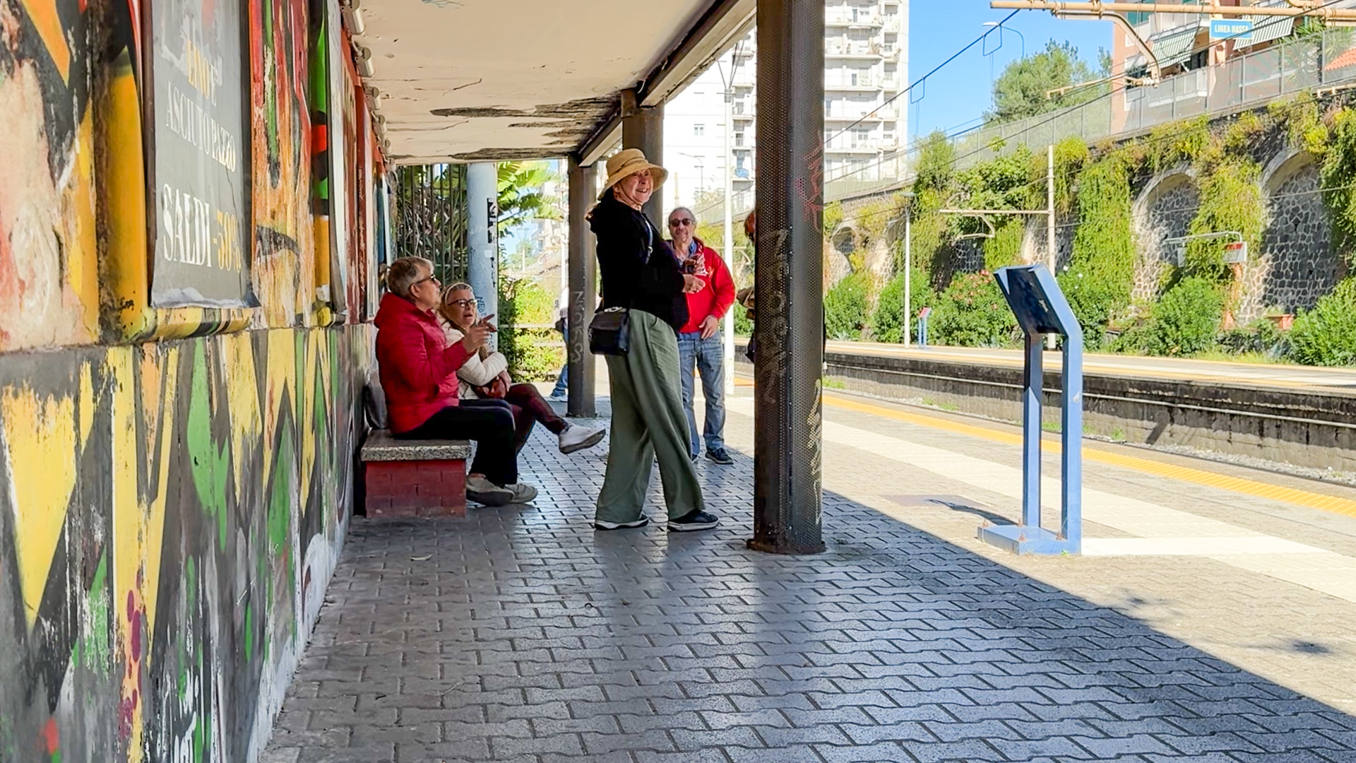
At the train station, Poldi triggers a loud Italian discussion ranging from train schedules to politics.
We decided against driving our car to central Naples, our experiences in the suburbs and countryside were harrowing enough. We took the train, hiking to the next town, Torre del Greco, to the train station. We purchased tickets and found ourselves on a platform on one side of the tracks. My sense of east-west was that we should be on the other, so I asked Poldi how she knew which was the one we should be on.
The station markings were inadequate, so she approached a man to ask if this was the right platform to go to Naples. It was a simple question, yes or no, but he gave a lengthy answer (in Italian of course, which I did not understand).