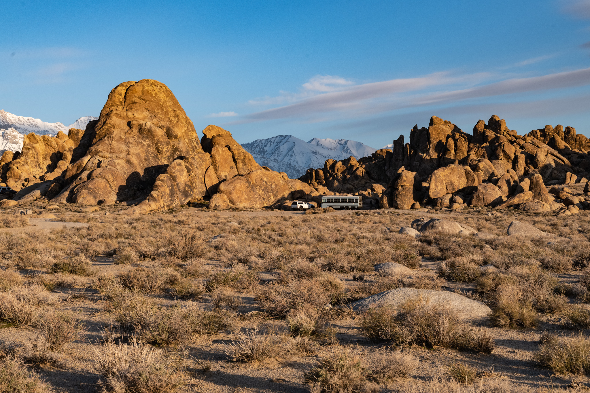
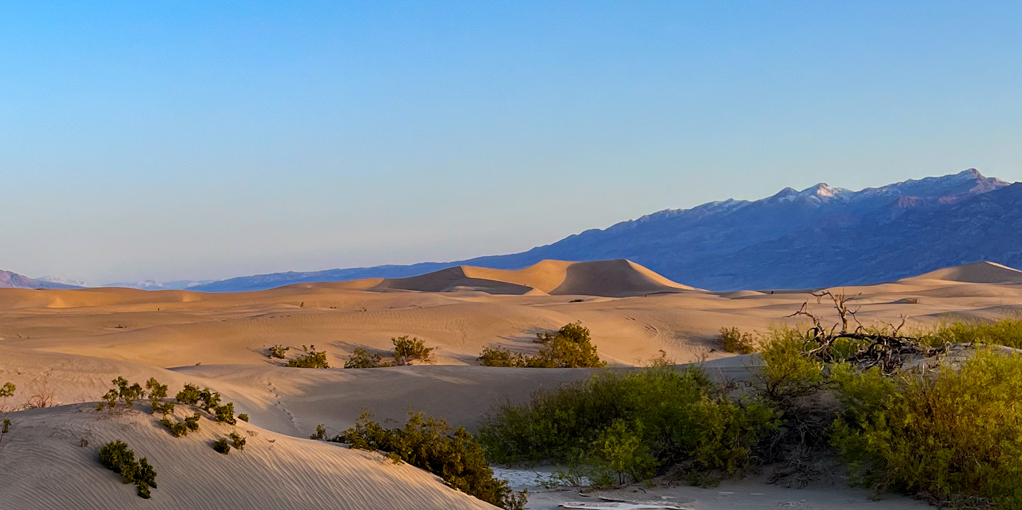
Our hike today was up Golden Canyon. We thought we were early, but on reaching the trailhead, the parking had overflowed to the shoulders of the highway. We had arrived just as a large ranger-led group was heading up the canyon. It didn’t take long to catch up, and then join them as the ranger explained the geology we were walking through.
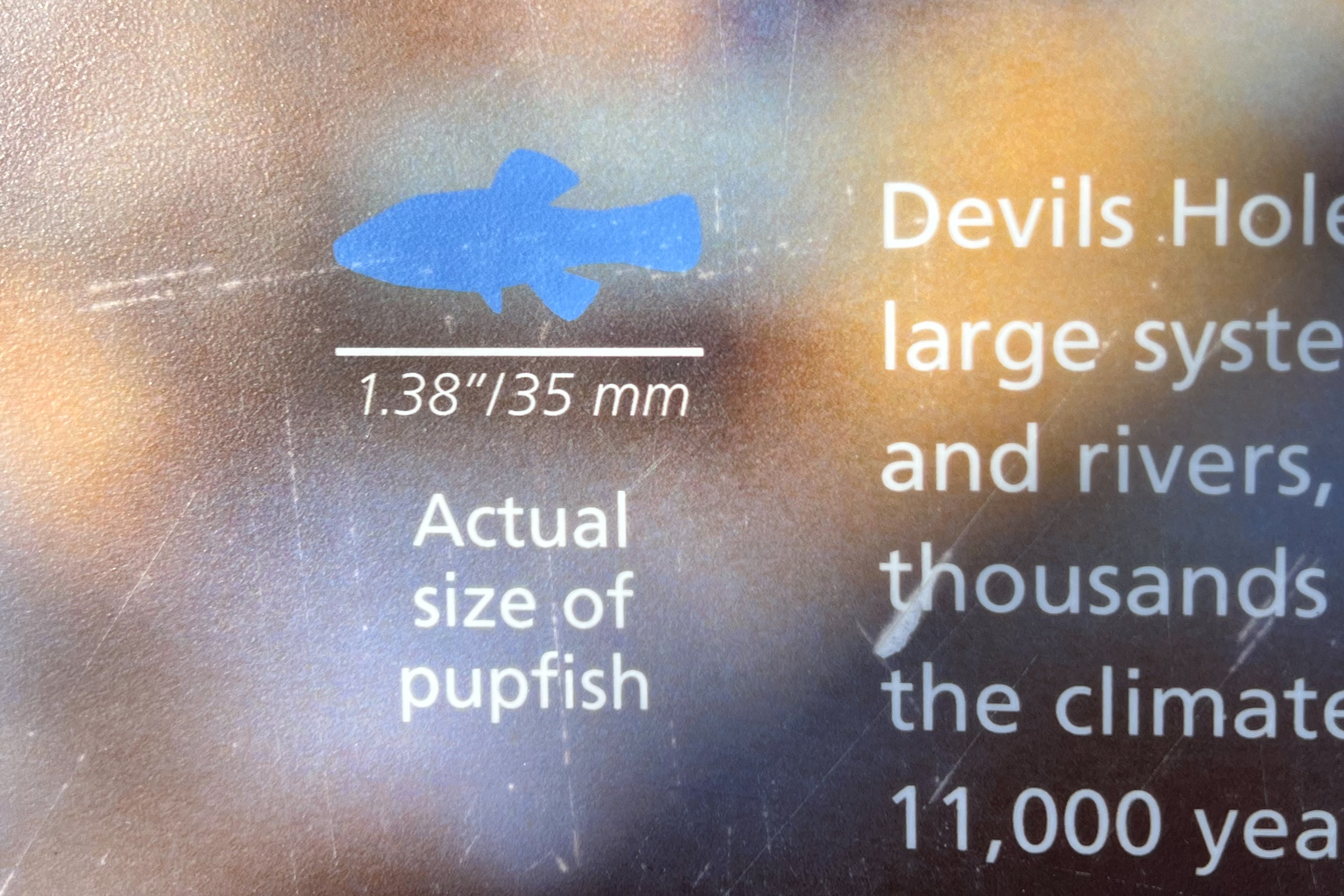
Among the things we learned was the evolutionary history of a small fish that lived in the prehistoric lake ecosystem that had once thrived here. As the lake diminished to become multiple smaller isolated lakes, the fish evolved separately, resulting in distinct species. They are still found in remote locations in and around the park, and in fact can be seen at a wilderness preserve not far from here!
This fascinated Poldi, who had already read about the Ash Meadows National Wildlife Refuge and she immediately revised our plans for the day. We completed the hike to our “halfway point” up Golden Canyon (to the magnificent Red Cathedral), then hastily returned to the car and headed to Ash Meadows, a wildlife refuge just east of Death Valley.
We left the warm comforts of Tecopa hot springs and headed back to Death Valley. The predicted rains arrived, as predicted, an anomaly in this arid zone, hindering our return to the park. In this large expanse, few places offer the tourist services we now were in need of: a good diner or café to sate our growing hunger. Miles and hours later, we reached the focal point of Death Valley, Furnace Creek, where the National Park visitor center serves as a key information source, displaying the current temperature prominently, along with the daily high temperatures, while also reminding us of the all-time planetary high temperature recorded here.
Furnace Creek also provides other tourist accommodations: a campground and a modest collection of motel rooms, with a restaurant and bar to serve the travelers passing through. At least that is what it was in 1995 when I stopped for a late-night snack on my way to Dante’s View for sunrise, and even in 2005 when I stayed for a few nights experiencing a peak spring bloom in the desert. But now, about twenty years later, I did not recognize the place.
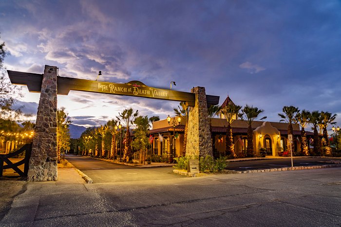
It was still “The Ranch at Death Valley” per the signpost, but now the entry took us through a gate into a different world, one with ice cream parlors and novelty shops at the boundaries of a golf course carved out from the desert, all nonexistent just twenty years prior.
The dining room was now a fine dining room, albeit with one choice, an expensive buffet. The rustic western-style bar that I recalled from 1995 was now an upscale scene that offered drinks with wings or pizza, high cholesterol choices at high prices.
We were hungry, but not hungry enough to partake in these options. Something had changed. This was no longer a place to enhance an experience of Death Valley, at least not how I perceived it. And it was certainly no longer affordable. It had become a playground for the wealthy, and capitalism reigns, even within the boundaries of a national park.
It reminded me of Horseshoe Bend: what had been an obscure dusty foot trail to the edge of the Colorado River is now a major tourist attraction with admission gates, pavement, and tour bus parking. At least the revenues go to the native tribe whose reservation land it crossed. Here at Furnace Creek, the revenues end up in the concessionaire’s pocket.
This was not what we had come to Death Valley for. Still hungry, we left this misplaced slice of Las Vegas and headed to our more primitive accommodations at Stovepipe Wells.
If you were unable to see the previous post about the date farm (because of my WordPress settings error), I encourage you to go back and check it out (use the “previous” links).
On the way back to the hot spring resort after visiting the date farm, we passed Tecopa Springs township, where a hot spring facility next to the road looked vaguely familiar. I wondered if this was the same place I had stopped at almost twenty years ago during my escape from Las Vegas visit in 1995. At that time, it was an isolated building along the side of the road, operated by the county or state and offering the hot spring pools to local residents and passing tourists, for free!
There were two sets of pools, men’s and women’s, with no-soap pre-showers, and nude bathing a requirement. I recall there were a sequence of pools, starting hot, and getting hotter at each. I also recall no towels were available. I had to do some hand squeegee removal of water before getting dressed again. I resolved to bring a towel next time.
Well, this was next time; I had my towel, but the setting had changed. The government-run pool building that once stood isolated like a roadside “point of interest” marker, was now surrounded by other, more entrepreneurial hot spring facilities, with motels and campgrounds providing overnight accommodations. An entire community now surrounded this former hot spring outpost.
I stopped and asked the attendant if this was indeed the place I remembered. Yes it was, and it is still operated by the county (but not free anymore), and yes the pools are still separated for men and women. And I would still need my own towel.
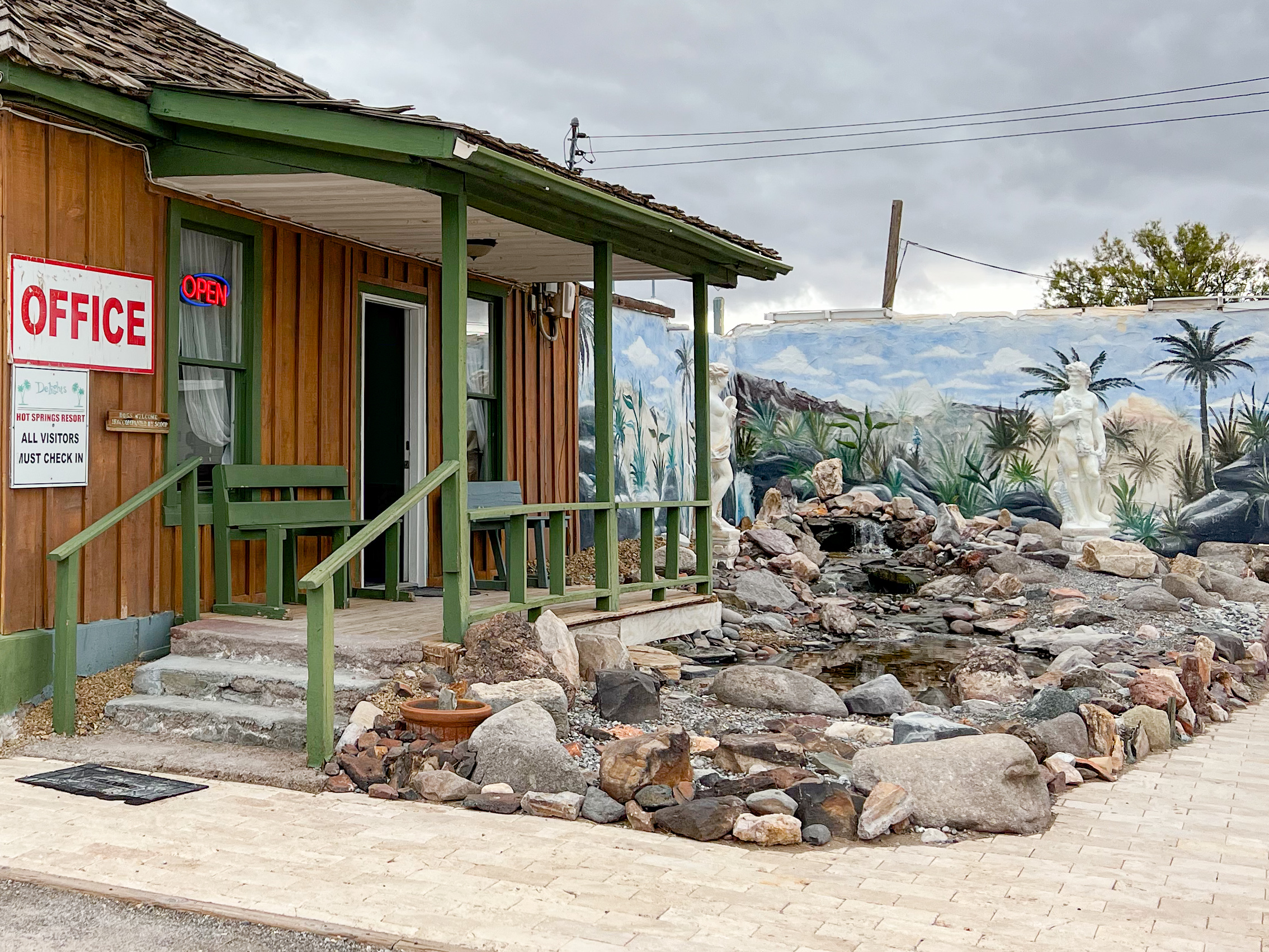
But I was on my way back to claim our next hot spring soak at Delights Resort before we checked out. Which we did, using the towels they provided.
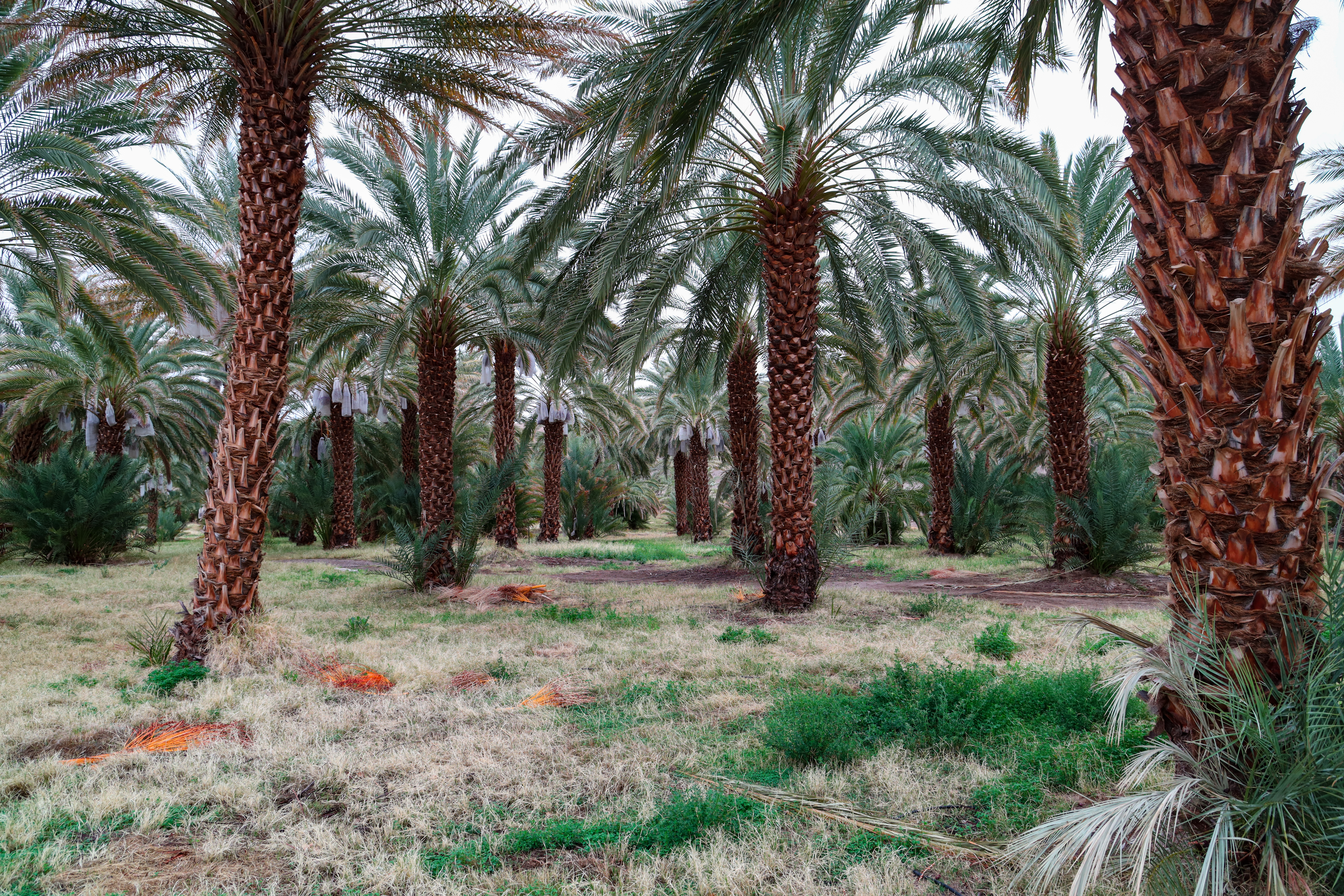
We had a nice long sleep in the decrepit trailer home at Delights Hot Spring Resort. On the previous evening at the nearby brewery/barbecue, we met a vivacious young woman, Kayla, at a shared table on the patio. Kayla works as the Field Manager at a date farm (yes, there is such a thing), and when we peppered her with questions, she not only answered them enthusiastically, she retrieved a date sampler package from her car to gift us so we could try them. She invited us to visit her at the date farm the next day. She is clearly a date ambassador.
It was a miserable night in the car. My air mattress deflated (probably user error—my misunderstanding of modern inflation valves. We could not find a comfortable position. According to my measurements, my six-foot-one frame should have fit in the space available. It did not. We did not sleep well. What had once been an unremarkable event in our youth (spending a night sleeping in a car during a road trip), had in the decades since become physically challenging! What happened?
Revived by our morning coffee, and with the sky clearing to blue, we enjoyed a wonderful hike up Mosaic Canyon, the trailhead just “across the street” from the campground. We had a little trouble with the occasional short scramble over the smooth marble-colored geology of the canyon, which narrowed in several places to just a few feet across. It widened to broad washes as it continued its climb, but eventually choked down again, eventually presenting a boulder wall, stopping our progress. There was a designated route up them, and with help from fellow hikers, we could clamber up and continue. But beyond the wall, the canyon remained narrow and twisted with yet more obstacles. We decided to turn back; we were feeling at the “halfway point” anyway and didn’t want to take risks. Another thing that has changed over the decades.
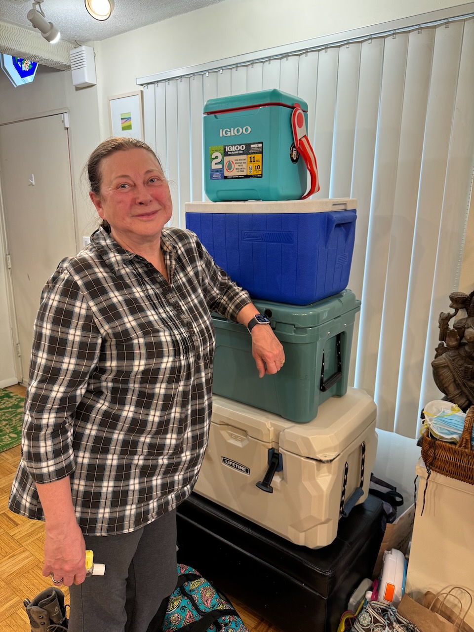
Unlike our previous visit which was part of an extended road trip, we planned a more streamlined experience this time: flying to Las Vegas, renting an SUV, and “car camping”, literally, in the desert. We brought the essentials: sleeping bags and pads, collapsing camp chairs, a minimalist stove for heating water and canned or dried food, and of course, our French press coffee maker. The idea was to shift our gear around at night to make room in the back of the car so we could sleep there. All we needed was a place to pull off the road far enough to qualify for “dispersed camping”, and we could roam freely in the back country of Death Valley, hiking and exploring by day and capturing pictures of the sky at night. It was a romanticized image which we didn’t quite achieve.
After the eclipse ended, I packed up my equipment again; this time I collapsed the tripod legs—I would need the space to pack up my campsite, which I did the next morning. I heated the dregs of leftover coffee thinking I would be stopping soon for breakfast on the road, including fresh brewed coffee.
I made the mistake of not stopping in Fort Davis for that breakfast. I thought it was too soon, it was only ten miles from the campground. But I should have stopped there anyway, because the next towns were too small, or too run down to support a café. I went all the way to Del Rio, which was too large to have the local flavor of a small down diner.
I did find one however—a Mexican restaurant operating out of a Victorian style hotel. The staff spoke Spanish, as did the other guests. It was now lunchtime and I ordered the Monday special: chili relleno (stuffed chilis?) which were delicious, and with rice and beans, too much.
I continued on toward Eagle Pass, the next large city, but in between was “Radar Base”, which is an intersection of roads where the 2024 solar eclipse is said to be at or near maximum—4 minutes, 30 seconds. It is a miserable spot however—hot, dusty, windy, with heavy highway traffic and not much shade. I’m not sure why it has a town designation—a local airstrip and a radio/cell phone/radar tower?
I had intended to stay in Eagle Pass, but on learning that the room rates were $250+, I continued on to Uvalde, a town larger than I expected, and whose notoriety to the world would be established a week later. There was some conference/convention going on, so the rates were still high, but I had reached the end of my range and desperately needed a shower, so I sprang for the room.
The shower was great.
More Options I wasn’t expecting to find an eclipse viewing site as I originally hoped—I was too late, all the prime locations had already been booked—or couldn’t be booked (the State Park reservation system only goes 5 months out).
But I felt obligated to document the candidates that I had looked up, as this was the purpose for traveling here. I could at least take photos and maybe get contact info in case of cancellations.
I located a few more places along the Rio Frio, and the Lost Maples areas along the eclipse path. There were various resorts and RV parks along a road east of the river, and I stopped at some and inquired. Locals would stop and talk with me, just being friendly, and I learned a lot about the area. Here are my notes.
I started to set up for the lunar eclipse; it would occur tonight (this was not a drill)! But by the time I had the tripods and mount in place, I realized that I had left a critical piece of equipment behind—my camp chair. I left the stuff for a 10-minute trip back to the campsite to retrieve it.
On return, I found the other guy who had obtained a pass for the overlook (required if we wanted to stay past 10:00 pm). He was an interesting person who was ok with my being focused on setting up rather than chatting.
A few other visitors dropped by, including one who was on foot with some portable camera gear. After a while he decided he wanted a different viewpoint and so he hiked away, disappearing below the crest.
I was ready at moonrise. This time I could see the moon as it appeared on the horizon. I centered it in the cameras, started the tracking and started taking pictures. The moon rose in a light orange color, brightening to white and then about one-half hour later, the eclipse began.
I intended to visit Big Bend Park and found it on my Texas road atlas southeast of Marfa—except that it was labelled “Big Bend Ranch State Park”. It had what appeared to be a major route through it, Casa Piedra Road, that I could take and see the terrain and park facilities, then continue through to the town of Presidio, where I could find lunch, and then take another major road back home.
So that was the plan. But it turns out that Big Bend Ranch State Park is entirely different from Big Bend National Park. I was confused but it didn’t matter. I missed the turnoff for the road through the park and stayed on US 67 to Presidio.
And I continued to follow US 67, thinking it would show me how to get to Big Bend Park. Eventually I found myself approaching a major checkpoint—the customs and border inspections.
I looked for a way to turn around before actually getting there, but I saw no convenient way to do this and suddenly found myself going through a covered channel with many many speed bumps—aggressive and alternating sides of the lane, then full width and strategically placed. There was no place to exit; the lane continued on and I thought maybe there would still be a turnaround opportunity. But there wasn’t, and I was now passing a long line of cars headed in the other direction, nearly all with Texas plates, stopped, waiting their turn to be inspected and pass into the U.S.
Fort Davis is the name of the town, “Historic Fort Davis” is the reconstructed early fort, established here in the 1850’s to protect the growing number of emigrants, and the mail and freight traffic to support and supply them in the westward expansion. My national parks pass gave me entry and access to a walking tour of the fort grounds to see the buildings that have been restored, and exhibits in some of them depicting the conditions and resources of a military outpost. It was very interesting to learn of the difficult conditions on the frontier, and the life of enlisted men stationed at the fort. It is probably not so interesting to small children; a rudimentary awareness of US history is helpful. I recommend visiting in the morning, before the temperatures become excessive.